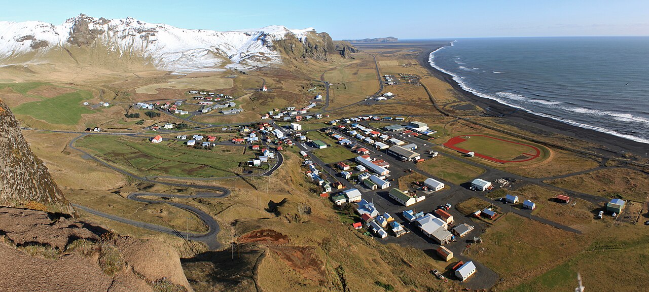
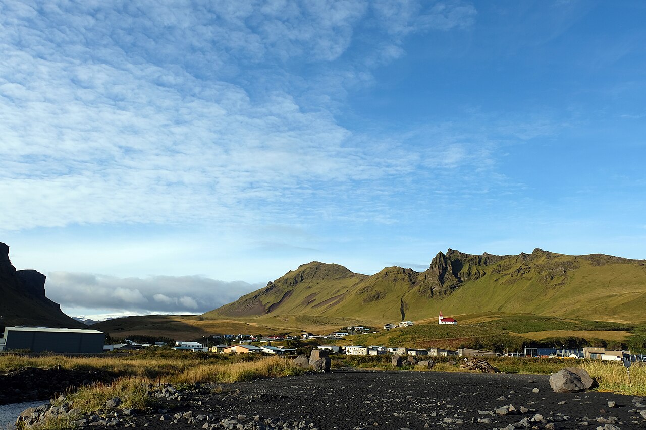
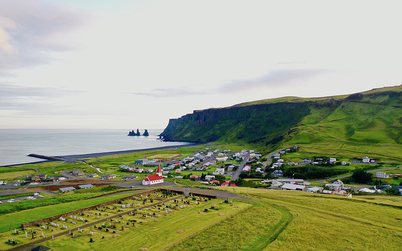
Vík í Mýrdal is the southernmost village on the Icelandic mainland, home to roughly 300 to 750 people and sitting about 180 km southeast of Reykjavík on the Ring Road (Route 1). It is the hub of the Katla UNESCO Global Geopark, famous for its black-sand beaches, the Reynisdrangar sea stacks and the Katla volcano slumbering beneath the Mýrdalsjökull ice cap. In February 2026 the nearby Reynisfjara beach saw an unusual bout of coastal erosion, though sand has been gradually returning since March; the village itself operates year-round as the key base for exploring the South Coast. Use it as a base camp to link glaciers, black beaches, waterfalls and the northern lights in one trip.
Reynisfjara black-sand beach: hexagonal basalt columns, the Hálsanefshellir cave and pipe-organ-like rock walls
Reynisdrangar sea stacks: jagged offshore pinnacles tied to the legend of trolls turned to stone at dawn
Hilltop Víkurkirkja church (1932–1934): the red-roofed landmark, also known as the village's designated refuge in a Katla eruption
Dyrhólaey peninsula: a 120 m cliff viewpoint with a natural arch and puffin nesting colonies from mid-May to mid-August
Mýrdalsjökull glacier and Katla volcano: launch point for guided glacier hikes and ice-cave tours, and a Geopark geosite
Good to know
SafetySneaker waves at Reynisfjara are the number-one danger: after a lull, water can surge dozens of metres inland with no warning and sweep an adult out to sea in seconds. Stay at least 30 m back from the water and never turn your back on the ocean.
RulesObey the warning-light system installed in 2022: yellow = caution, orange = stay at least 25 m from the sea, red = beach closed (view only from the designated area). After a fatal accident in August 2025, the cave and basalt columns are closed during red alerts; stay on marked paths and behind safety lines.
SeasonVík is Iceland's wettest coastal town (about 2,250 mm a year), so weather is fickle. Winter (Nov–Mar) brings ice, strong winds and short daylight that make driving tricky; it is aurora season (Sep–Apr), while summer has near-midnight sun. Always check vedur.is (weather), road.is (roads) and safetravel.is before you set out.
SafetyGusts are so strong that car doors are frequently bent or torn off when opened in the parking lot (often not covered by rental insurance). Katla under Mýrdalsjökull is an active volcano, so only cross the glacier on a guided tour and never attempt crevasses or river crossings alone.
MannersThis is a village of only about 300 residents. Do not enter farms or private land, walk on fragile moss, or stop on road shoulders to shoot photos, and carry out all your rubbish (Leave No Trace). Drones and off-road driving are prohibited in most areas.
CautionTourist scams are rare, but rooms and tours sell out early in peak season, so book ahead. Many fuel stations are unstaffed self-service and need a PIN-enabled credit card. Iceland has no tipping culture, so you are not obliged to pay any extra tip that is requested.
Practical info
Iceland has no railways, so access is by rental car or bus only. From Reykjavík it is about 180 km east on the Ring Road (Route 1), roughly 2.5 hours in good conditions, and Strætó bus route 51 also stops in Vík. Reynisfjara is about a 5-minute drive from the village via Route 215, with a free car park, café and restrooms. There is no admission fee for the village or beach, but parking/tour prices and winter road closures should be checked on official channels right before your visit.
On-site reviews📍 Verified on-site
No reviews yet. If you are here, be the first to leave one.