Isola di Tavolara, Area Marina Protetta Tavolara – Punta Coda Cavallo · 이탈리아 사르데냐 타볼라라
Location
Overview
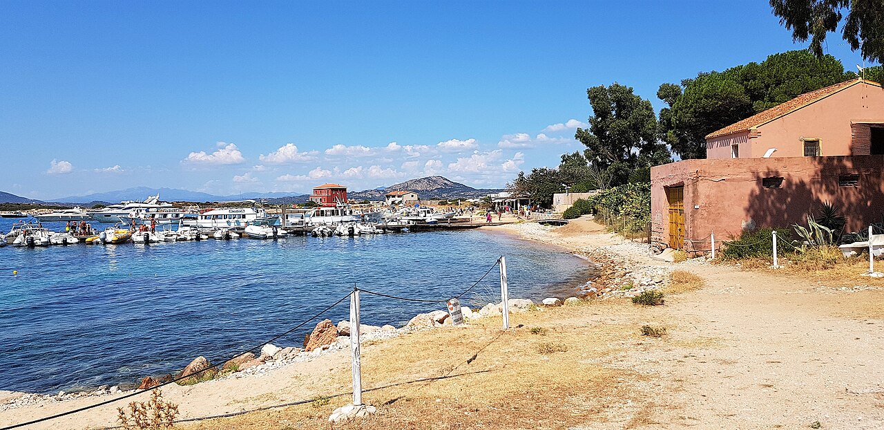
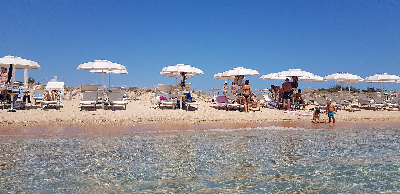
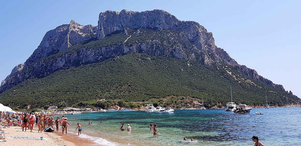
Tavolara is a dramatic limestone-cliff island off Sardinia's northeast coast and the centerpiece of the Tavolara–Punta Coda Cavallo Marine Protected Area (AMP), established in 1997. On its southwest side, the Spalmatore sandspit — white sand washed by sea on both sides — leads into a shallow rocky shelf called 'I Forni', which the park designates as an official snorkeling route. In clear water just 0–3 m deep (summer visibility around 20–30 m) you drift over mullet, sea bass, salps, sea bream, wrasse and damselfish, while at the surface you can spot limestone studded with ~125,000-year-old shell fossils and the remains of old lime kilns. As of 2026 the site is served by authorized tours and a regular ferry through the late-April to late-October season.
'I Forni', an official park snorkeling route running straight from the Spalmatore landing — roughly 500 m round trip, only 0–3 m deep and suitable for beginners
Fossil geology you can read at the surface: limestone over granite, embedded with 125,000-year-old bivalves and gastropods
Mullet, sea bass, salps, sea bream, wrasse and damselfish, plus starfish, small rays and purple-tipped anemones
Historic lime kilns (forni) and ancient mooring marks scattered along the shoreline
Protected Cystoseira and peacock's-tail algae and broad posidonia meadows that keep the water strikingly clear
Good to know
SafetyThe Spalmatore spit is open to the sea on both sides, so on the exposed face a current can push you offshore. Don't snorkel alone, tow a surface buoy or float, and stay within an easy swim of the beach. Beginners should keep sessions short and not overreach.
SafetyThis is a busy marine reserve with skipper tours and small craft moving through. Mark yourself with a bright buoy, don't cut between moored boats, and if your mask fogs or your breathing quickens, roll onto your back and steady yourself before continuing.
SafetyWeeverfish (pesce ragno) bury in the sandy patches and can inject venom through their spines if stepped on (treat by immersing in hot water), and sea urchins cover the rocks. Don't stand barefoot or grab the rock, and wear a rashguard against chilling on longer swims.
SeasonThe best window is June–September with summer water around 23–26°C. However, jellyfish — notably the mauve stinger Pelagia noctiluca — can drift inshore from May to October (peaking June–August), so check local bathing notices and flags and cover up with a rashguard.
RulesWaters around Tavolara are split into Zone A (no-entry integral reserve) and Zone B (swimming and underwater visits allowed under the authority's rules). Taking fossils, shells or marine life and fishing are prohibited, as is anchoring over posidonia. Check the zoning map before you go.
MannersThere is no tropical coral here — the bottom is limestone rock and posidonia seagrass. Don't stand on the meadow or rocks or kick the seabed with your fins, don't feed or touch wildlife, and use reef-safe (biodegradable) sunscreen to protect the posidonia.
CautionTo avoid unlicensed or speeding boats and inflated prices, book with AMP-authorized operators and confirm fares and departure times through official channels before you pay.
Practical info
From Porto San Paolo (21 km south of Olbia) a regular ferry reaches Spalmatore in about 25 minutes, and snorkel excursions also run from Olbia and Porto San Paolo. The beach has a kiosk and restaurant, and AMP tours generally operate from late April to late October. Fares, timetables and zoning rules change by season, so verify current details with operators and the official AMP site before visiting.
On-site reviews📍 Verified on-site
No reviews yet. If you are here, be the first to leave one.