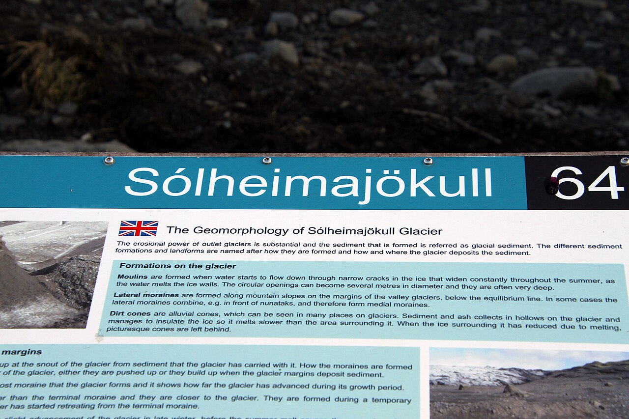
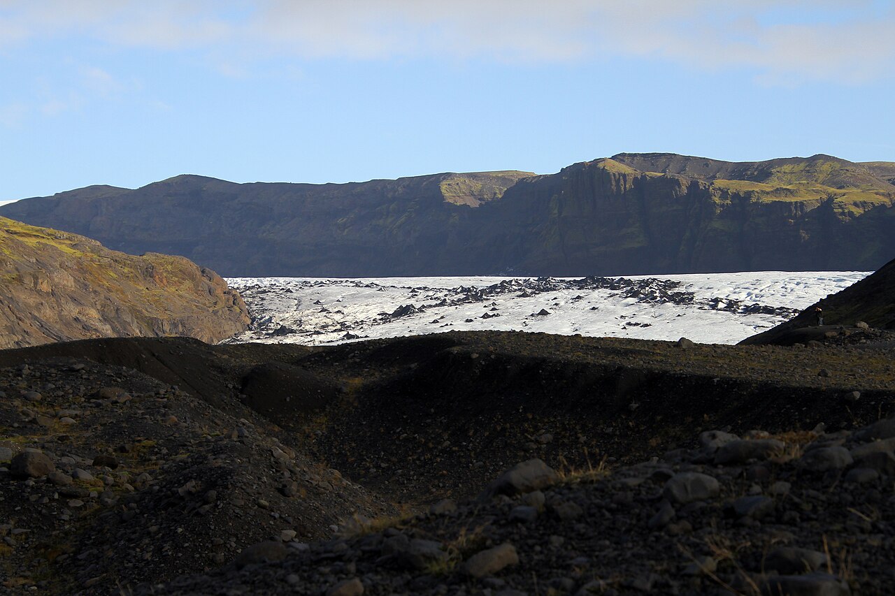
Sólheimajökull is an outlet glacier tonguing down from the Mýrdalsjökull ice cap on Iceland's south coast, with the active Katla volcano lying beneath the ice. Streaked with dark volcanic ash against deep-blue ice and reachable in about a 15-minute walk from the Ring Road, it is often called Iceland's most popular glacier for first-time glacier hikers. It is also a stark climate-change landmark: a proglacial lagoon that first appeared around 2007 keeps growing, and the glacier has retreated well over 1.5 km since 2000, with dated markers along the trail recording the loss. As of 2026 it can still be visited year-round on guided tours, and in winter (roughly November–March) guides lead visitors into natural ice caves.
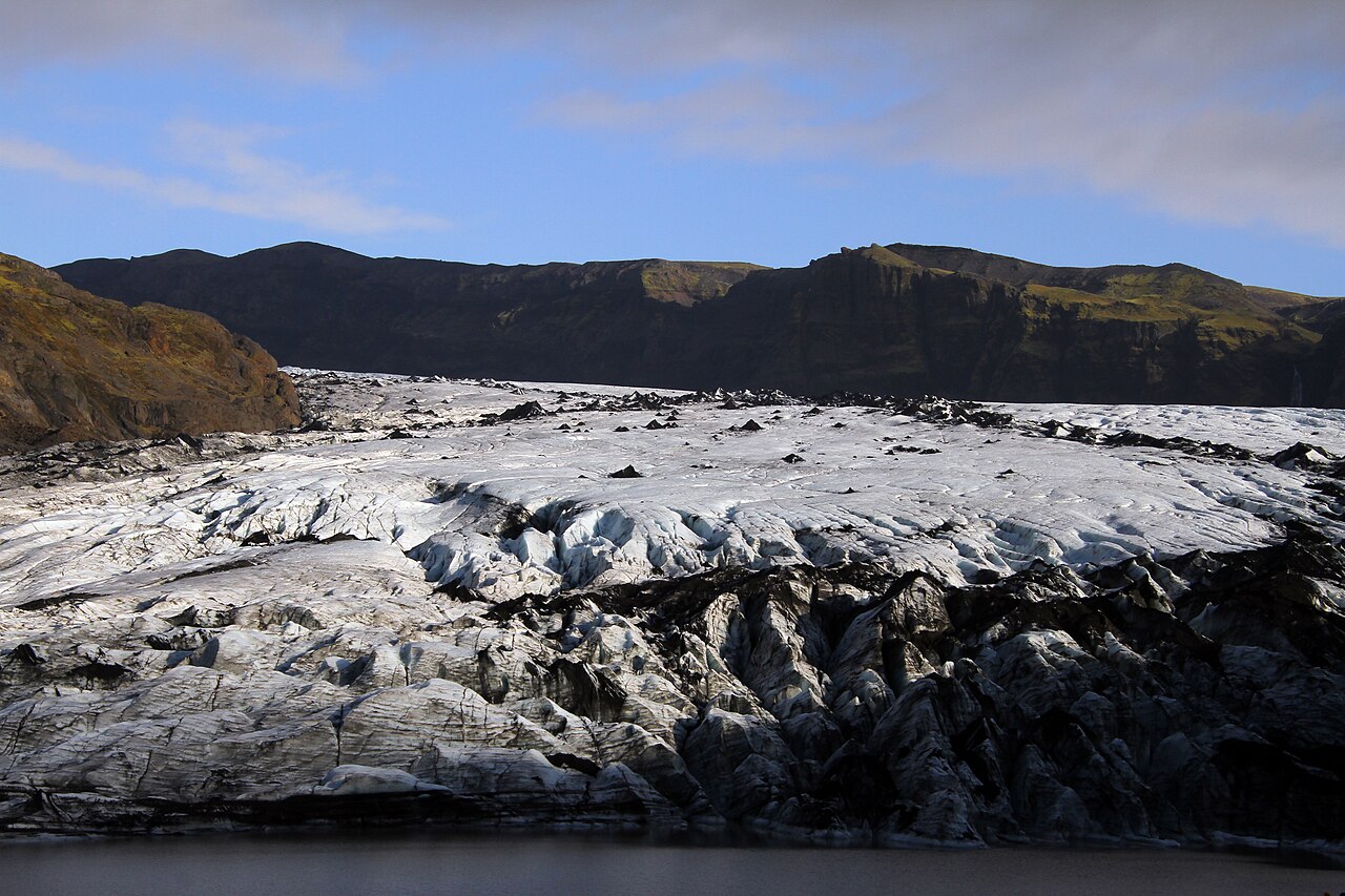
Ash-banded grey-and-blue ice surface, a signature of past Katla eruptions
The proglacial lagoon about 500 m from the car park, formed by the glacier's rapid retreat since around 2007
Dated retreat markers along the trail that make climate change tangible
Dynamic glacier features: crevasses, moulins and ice tunnels
Natural blue-ice caves that open only in winter
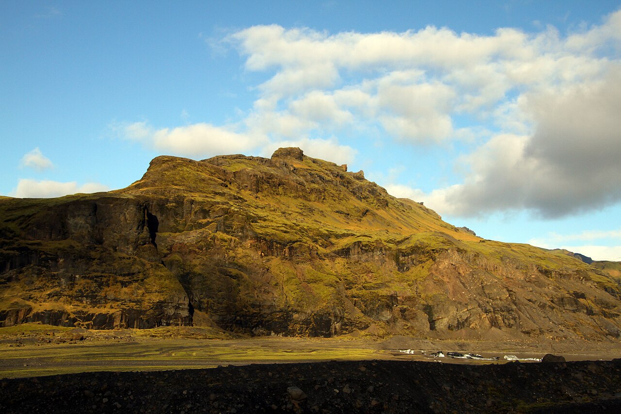
Valley views framed between the Katla and Eyjafjallajökull volcanoes
Good to know
SafetyCrevasses are often hidden under snow or ash, so step onto the ice only on a guided tour with a certified glacier guide — solo access is prohibited and has caused fatalities. Crampons, a helmet and other gear are usually included in tours.
SeasonIce caves are safe to enter only in winter (about Nov–Mar); in summer their entrances melt and close. Summer brings the midnight sun and long tour windows, while winter offers northern-lights chances but frequent weather cancellations.
RulesKatla is an active, monitored volcano. Before you go, check the Icelandic Met Office (vedur.is) for volcanic and weather alerts, safetravel.is for safety advice, and road.is for winter road conditions.
MannersStay behind marker posts, guide ropes and the lagoon shoreline; do not approach thin lake ice or the crumbling glacier terminus, and keep to marked paths to protect the site.
SafetyWeather changes fast (summer ~5–20°C, winter ~-15–0°C). Bring waterproof, windproof outerwear, warm layers and sturdy ankle-supporting boots, and allow buffer days since high winds or heavy rain can cancel or reschedule tours.
CautionParking is free but toilets are paid, and you should avoid informal 'guides' who encourage unescorted hikes onto the ice. Book only with licensed operators, and reserve a few days ahead in peak season.
Practical info
From Reykjavík it is about 160 km (2–2.5 hours) southeast along the Ring Road (Route 1), or roughly 30 km west of Vík; turn onto Road 221 for about 4 km to a free car park (food van, paid toilets), from where it is a ~15-minute walk to the glacier snout and lagoon. There is essentially no public transport, so use a rental car or a pickup tour from Reykjavík; there is no fee to reach the glacier itself, but guided-tour prices and operating hours vary by company, so check the latest before you go.
On-site reviews📍 Verified on-site
No reviews yet. If you are here, be the first to leave one.