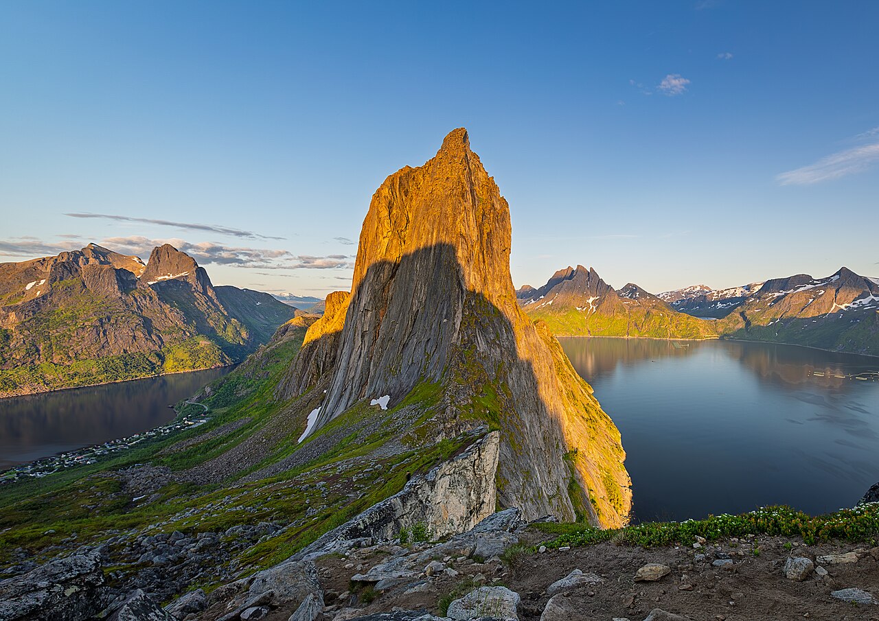
Segla (639 m) is the iconic peak rising above the fishing village of Fjordgård on Senja island in Arctic Norway. Nicknamed 'the sail' for the sheer wall that drops straight into the sea, it is the island's most-photographed mountain. The out-and-back route up the gentler southern flank is short but relentlessly steep — about 4.6 km and 3.5 hours round trip — and rewards you with a 360° panorama over the Mefjord and Øyfjord. As of 2026 the hike itself is free, but the trailhead lot by the Fjordgård school is now paid via app and fills early in peak season. A July visit falls under the midnight sun, when Segla glows gold late into the 'night.'
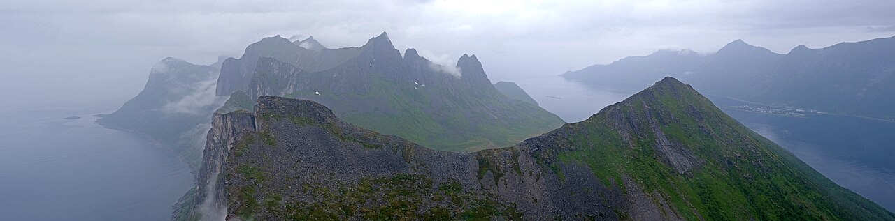
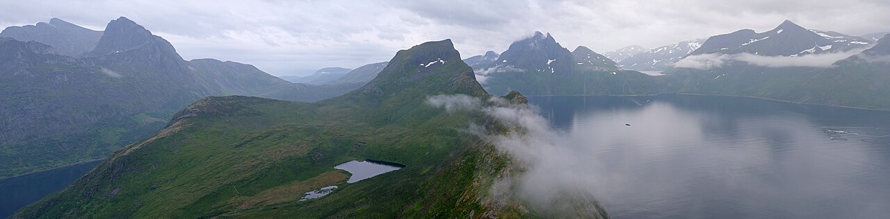
A 360° summit panorama — Øyfjord to the east, Mefjord to the west, and the peaks of Breitinden and Keipen
The sheer western wall dropping roughly 600 m straight into the Mefjord — dramatic, but the edge is unguarded
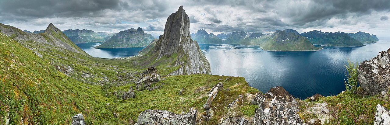
For the classic postcard silhouette of Segla itself, the neighbouring peak Hesten (556 m) is the best viewpoint
Snow-free hiking roughly May–September, with golden midnight-sun evening ascents in June–July
The photogenic Fjordgård fishing village and the Senja National Scenic Route nearby
Good to know
SafetyThe southern ascent is steep with no respite and the summit is an exposed, unguarded cliff edge with a ~600 m drop — not advised for young children or inexperienced hikers; take great care when photographing near the edge.
SafetyLoose sand and gravel on the trail create rockfall risk; avoid kicking stones onto hikers below and wear grippy hiking boots.
SeasonThe safe snow-free window is roughly May–September; outside it expect snow, ice and avalanche terrain requiring winter gear and experience. Even in high summer the exposed ridge can be windy with fast-changing weather.
SeasonIn July the midnight sun (approx. 22 May–21 July) allows late-evening or 'night' ascents, but the northern lights are not visible in summer (best Sept–April). Fog often hides the view, so check the forecast.
RulesReaching the summit is free with no ticket, but the Fjordgård school parking lot is paid via app (e.g. EasyPark) — confirm current rates and rules on-site or in the app, and start early as spaces fill fast.
MannersFollow Norway's 'right to roam' (allemannsretten): stay on the marked trail, pack out all litter, keep your distance from private cabins, and keep noise down. Avoid off-trail shortcuts and drones.
CautionThere is no entrance fee for Segla — anyone charging 'admission' is a scam; pay only through the official parking app. Norway runs on cards and mobile pay with little tipping, and this is a remote area, so fuel up and carry supplies in advance.
Practical info
A rental car is effectively essential: from Finnsnes it's about a 50-minute drive along Road 862 and through a tunnel into Fjordgård, where you park by the school right at the trailhead; in summer the Brensholmen–Botnhamn ferry links Tromsø to Senja. The hike is free and open with no set hours or ticket, but confirm parking fees, ferry timetables and trail conditions before you go via ut.no and Visit Senja (latest info required).
On-site reviews📍 Verified on-site
No reviews yet. If you are here, be the first to leave one.