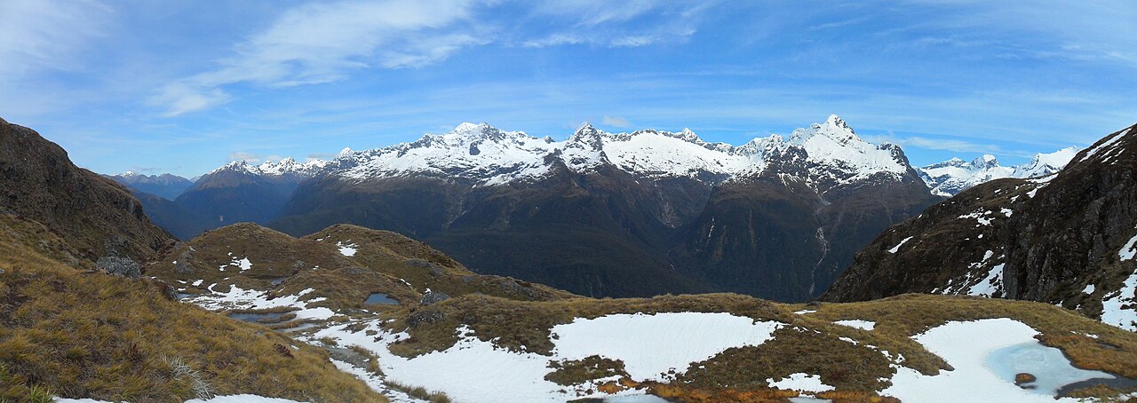
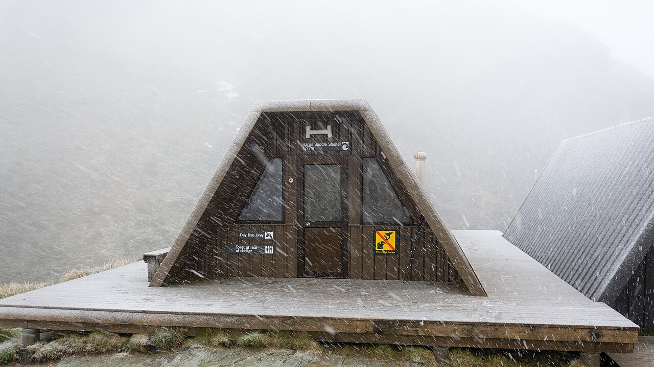
This 32km one-way track links Glenorchy near Queenstown to the Divide on the Milford Road, crossing the boundary between Fiordland National Park and Mount Aspiring National Park. From its high point at Harris Saddle (1,255m), clear weather reveals views across the Hector and Darran mountain ranges; most trampers take 2-3 days. Because it's a point-to-point route, shuttle transport between the two trailheads must be booked separately.