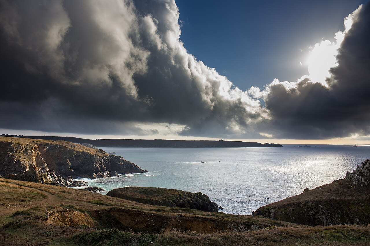
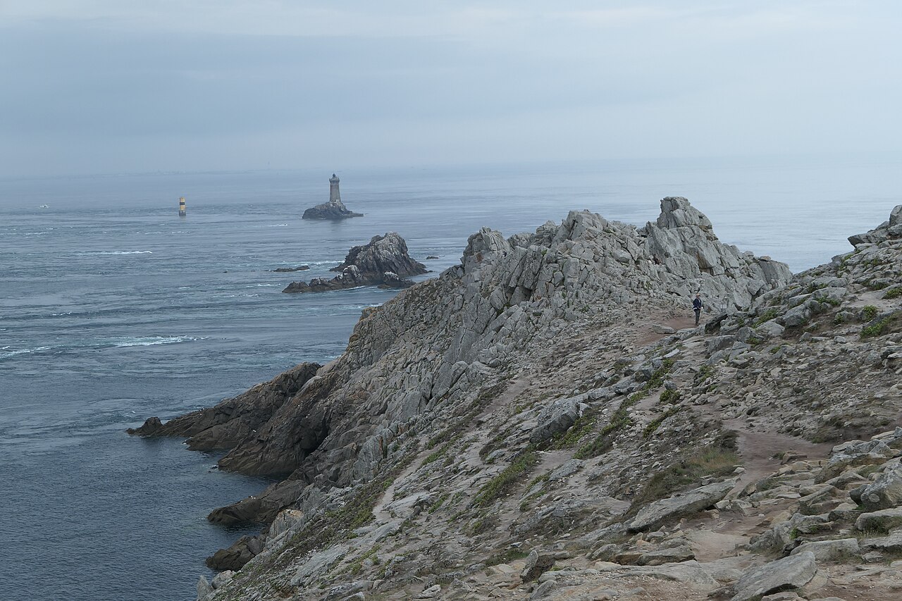
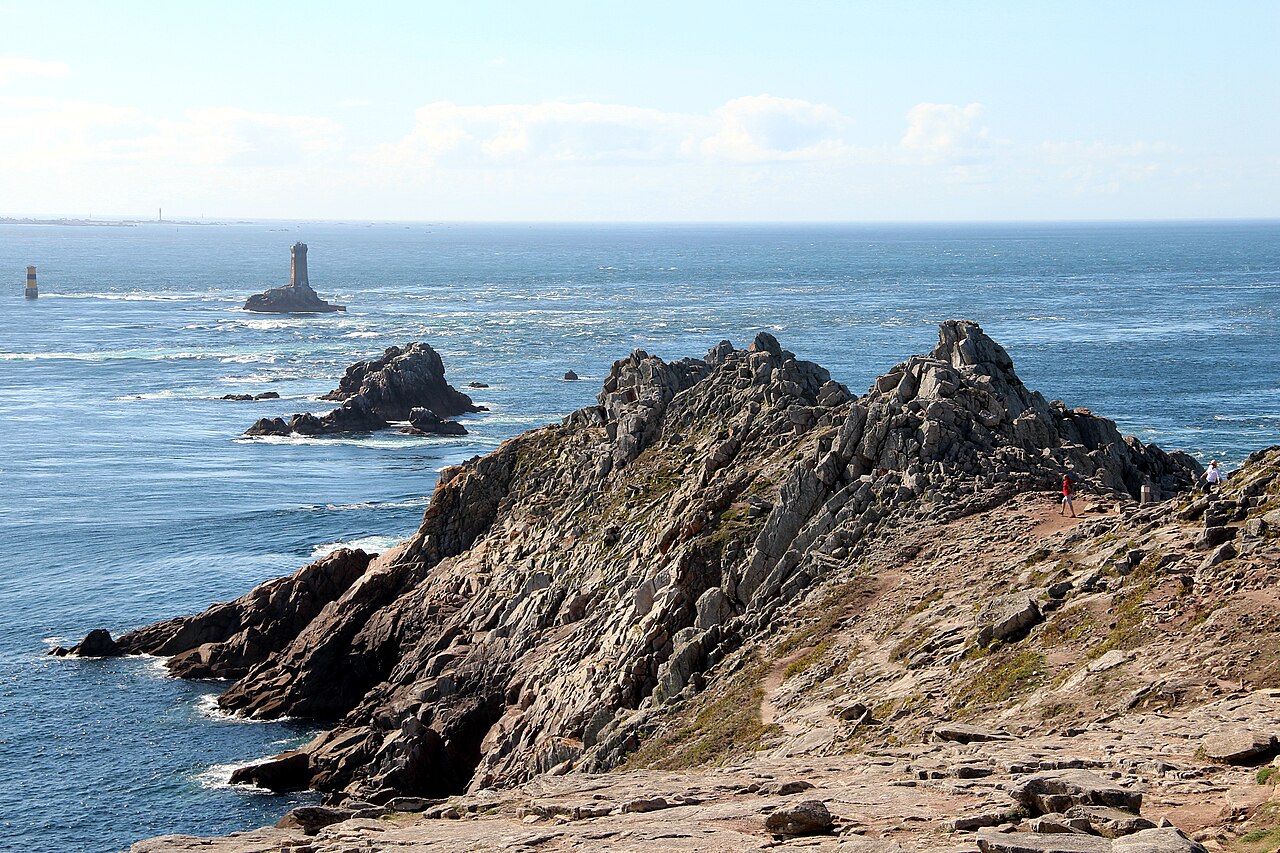
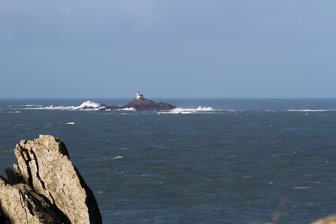
The Pointe du Raz is a schist-cliff headland at the very tip of the Cap Sizun peninsula in Finistère, Brittany, where sheer walls plunge about 72 metres into the Iroise Sea above the swirling tidal current known as the raz de Sein. Often described as the westernmost point of France, it is strictly not (that title belongs to the Pointe de Corsen to the north), yet it remains one of Brittany's most iconic wild-coast landscapes and draws around a million visitors a year. It is a designated Grand Site de France: in the late 1990s the hotels and shops that once crowded the point were demolished and facilities moved 800 m inland to restore the natural heathland, leaving only the Our Lady of the Shipwrecked statue and a working naval semaphore, with the La Vieille lighthouse and the Île de Sein visible offshore. As of July 2026 it is peak season with the visitor centre and shuttle fully running, so with the right layers for wind and weather it makes an excellent half-day of coastal walking.
Schist cliffs about 72 m high and the swirling raz de Sein current below — most dramatic during spring (high-coefficient) tides
The marble statue of Notre-Dame des Naufragés (Our Lady of the Shipwrecked) at the tip, a symbol honouring sailors
Panorama taking in the offshore La Vieille lighthouse and the Île de Sein some 8 km out to sea
Wind-shaped Breton heathland (lande) and rugged, unspoilt coastal scenery
Coastal walking along the GR34 long-distance path, linking to nearby Cap Sizun and the Pointe du Van
Good to know
SafetyThe cliffs top 70 m and many stretches have no railings. Do not step toward the edge for a photo, and keep well back in strong wind or fog. Hold children by the hand and keep dogs on a short leash at all times.
SafetyThe point is exposed to constant strong wind, and the schist (slate) rock becomes very slippery when wet from rain or sea spray, so falls are a real risk. Wear waterproof shoes or boots with good grip.
SafetyThe raz de Sein is one of France's most dangerous stretches of water. Never climb down onto the lower rocks or enter the sea here.
SeasonAtlantic weather changes fast. Even in the July high season, grey and windy days are common, so bring a windproof, waterproof layer in summer. Clear-day sunsets are stunning but the temperature drops sharply once the sun is down.
RulesStay on the marked GR34 path (white-and-red waymarks) to protect the vegetation and avoid falls; do not cut corners or cross beyond the ropes. Entry to the natural site is free — you pay only the official parking eco-contribution.
MannersThe semaphore on the headland is a working naval surveillance station: do not enter or take close-up photos of it. As a protected area, avoid loud noise and carry all your litter back out with you.
CautionAccess to the natural site is free and the only charge is the parking eco-contribution — there is no need to buy an 'entry ticket' from third-party websites. Be wary of unofficial parking touts or inflated price claims.
Practical info
The site sits at the end of the D784 road, about an hour's drive from Quimper, and the natural area and car park are open year-round. The visitor centre (Maison de site) runs roughly late March to early November, with a parking eco-contribution (around €8 for a car, free November–March) and a 1 km-scale 800 m shuttle linking the centre to the point (about €1 each way, free for reduced-mobility visitors and young children); confirm all fares and opening times on the official site for the latest details.
On-site reviews📍 Verified on-site
No reviews yet. If you are here, be the first to leave one.