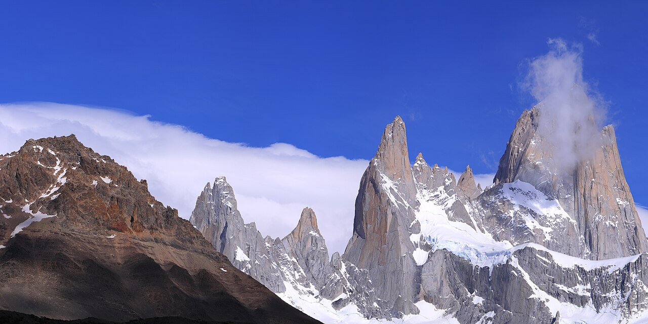
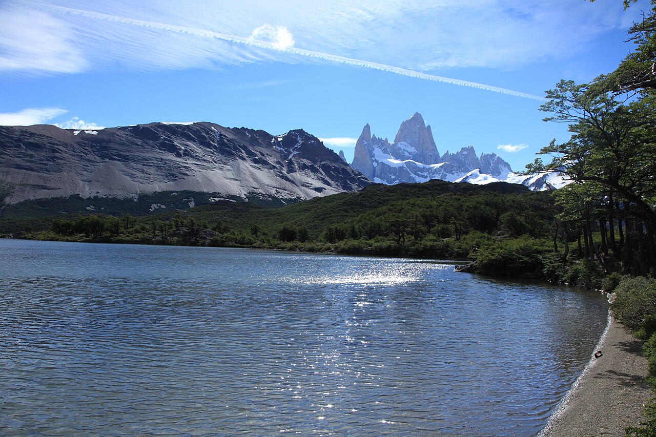
Mount Fitz Roy (local name Cerro Chaltén, ~3,405 m) is a jagged granite spire on the Argentina–Chile border above the Southern Patagonian Ice Field, so iconic that its skyline inspired the Patagonia clothing logo. Summiting it ranks among the hardest climbs on Earth, but the trekking town of El Chaltén at its foot — Argentina's self-styled 'trekking capital' — gives ordinary hikers a front-row view from the Laguna de los Tres lookout. Since 2024 the northern (El Chaltén) sector of Los Glaciares National Park charges an entrance fee, and as of 2026 tickets must be bought online in advance. Fitz Roy is often wrapped in cloud, so build in spare days if you want the clear postcard view.
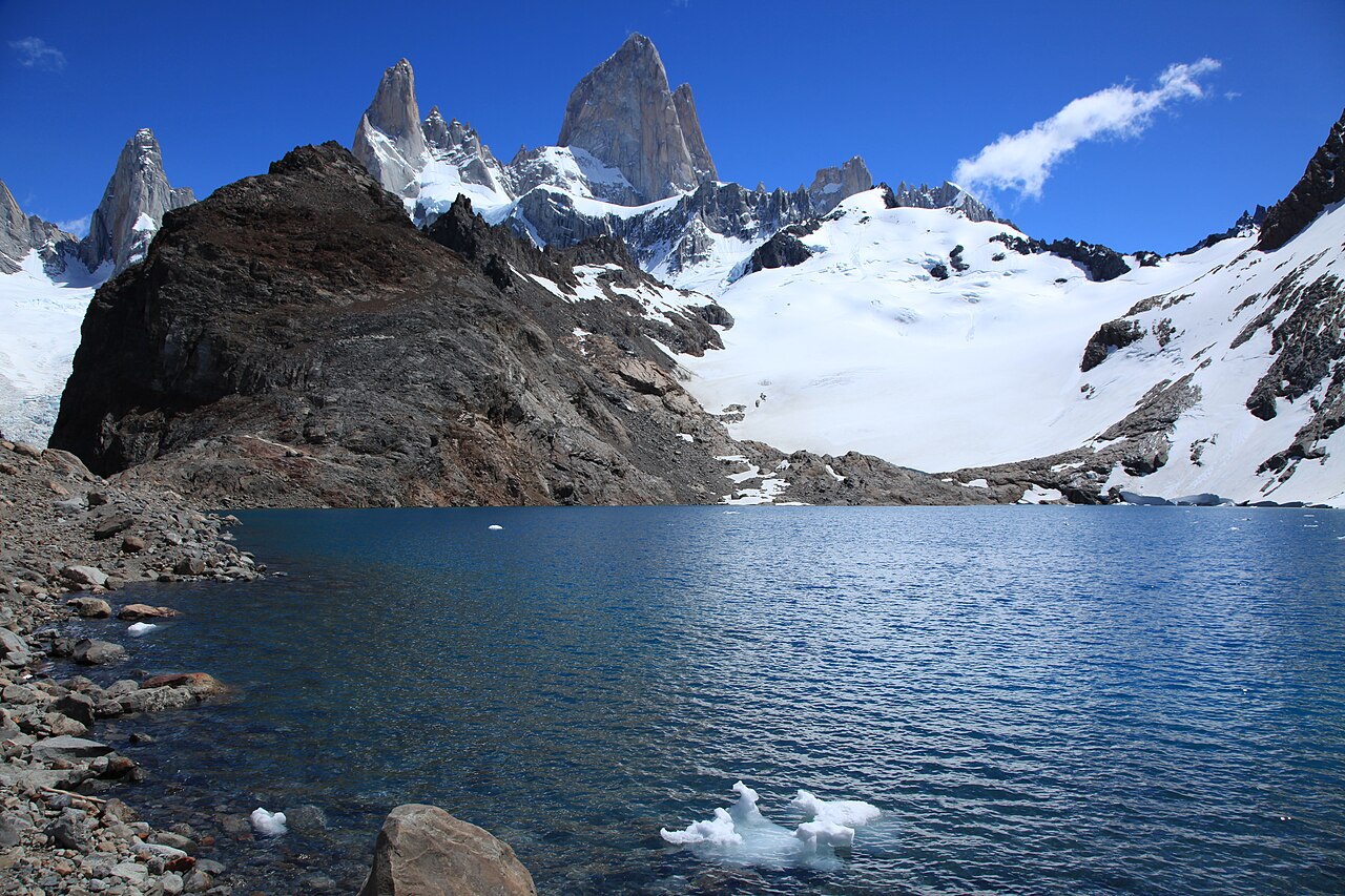
Laguna de los Tres: the classic head-on Fitz Roy viewpoint; about a 20 km round trip with a steep final climb
Laguna Torre: the other signature trek, framing Cerro Torre above a glacial lake
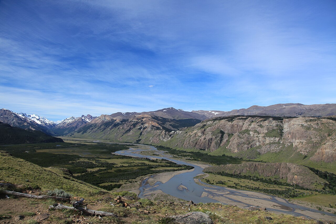
Loma del Pliegue Tumbado: a panoramic ridge that captures Fitz Roy and Cerro Torre in one frame
Mirador Los Cóndores / Los Águilas: short trails right by town, ideal for a first-day warm-up
Dawn alpenglow: the summit glowing red at sunrise (weather permitting)
Good to know
SafetyPatagonian weather flips between fierce wind, rain and snow within hours. Wear windproof, waterproof layers and sturdy boots, bring sun protection, plenty of water and snacks, and start early. The trails aren't technical, but the 20 km round trip is long, so pace yourself.
SeasonThe trekking season runs October–April, with December–February offering the longest daylight and most stable weather. Winter (June–August) closes many trails and services due to snow and ice. Fitz Roy is frequently clouded over, so allow a day or two of buffer for a clear view.
RulesSince 2024 the park's northern (El Chaltén) sector charges entry. This zone takes no cash on site — buy online only at the official ventaweb.apn.gob.ar (foreigners roughly 45,000–50,000 ARS). You can also scan a QR at the access portals (open 07:00–20:00), but buying ahead is safer. Confirm the latest price and hours.
RulesBefore your first hike, register (free) and get a safety and weather briefing at the Ceferino Fonzo visitor center in town. Camp only at designated free sites such as Poincenot and De Agostini; cooking fires and campfires are prohibited.
MannersFollow Leave No Trace, pack out all rubbish, and stay on marked trails. Stream water is generally drinkable, but avoid flying drones or approaching wildlife.
CautionEl Chaltén has few ATMs and they often run dry, so bring enough Argentine pesos in cash from El Calafate. Book high-season buses and lodging ahead, and watch for taxi/tour overcharging and unofficial money changing.
SafetyMost trails have no mobile signal and medical facilities are limited (the nearest hospital is in El Calafate). Tell your lodging or a companion your route and return time, and avoid hiking alone.
Practical info
The gateway is El Calafate: from El Calafate International Airport (FTE) it's about a 3-hour bus ride (~214 km) up Ruta 40 to El Chaltén, the trailhead town (Chaltén Travel, Cal-Tur, Taqsa and others run daily in season). Trails start right from the village with no ticket-booth building, but northern-sector entry must be purchased online in advance; confirm current fees, bus timetables and portal hours before you go.
On-site reviews📍 Verified on-site
No reviews yet. If you are here, be the first to leave one.