Larapinta Trail · 호주 노던테리토리 웨스트 맥도넬 산맥 (앨리스스프링스 인근)
Location
Overview
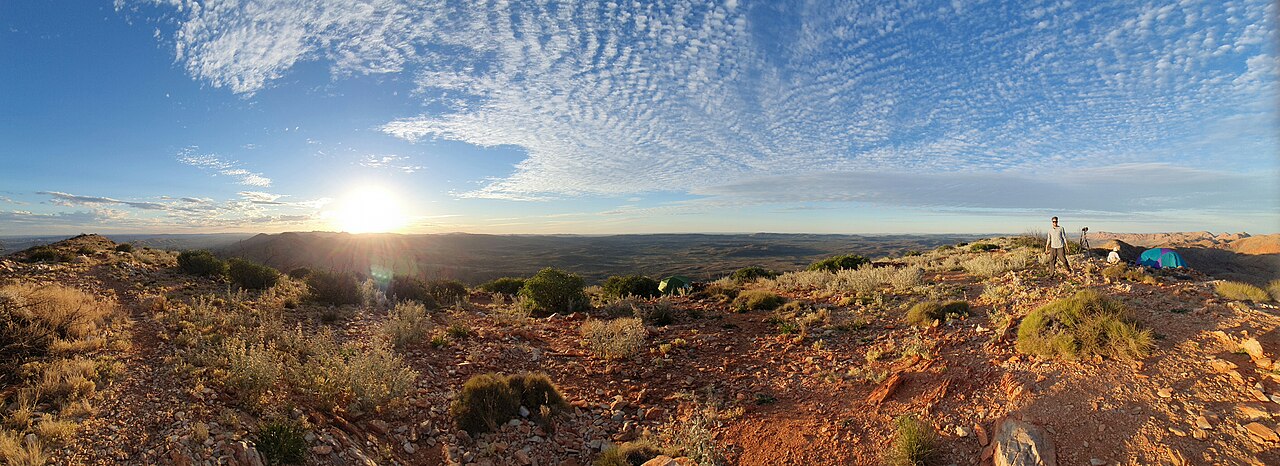
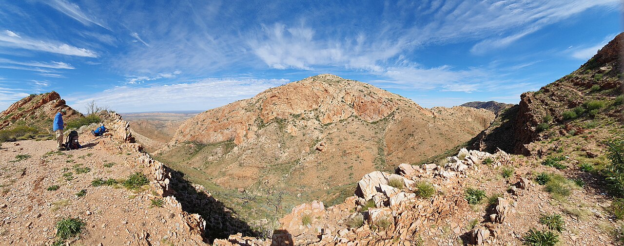
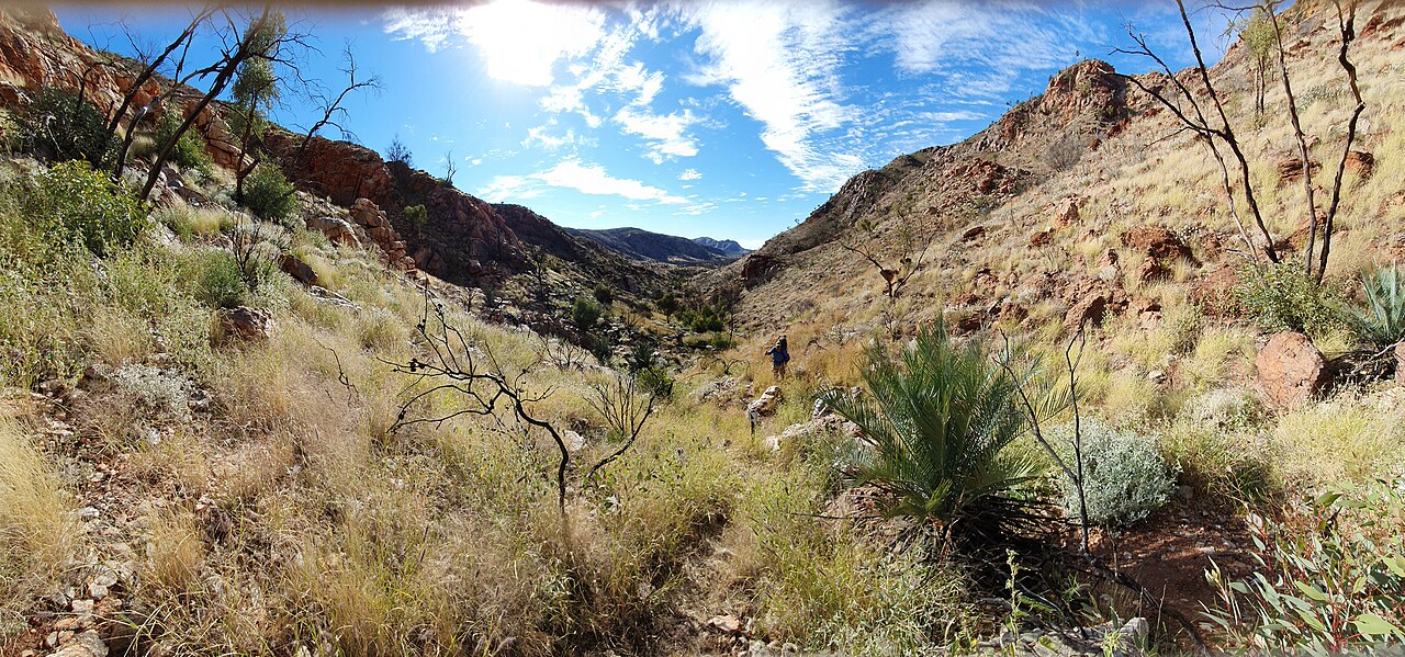
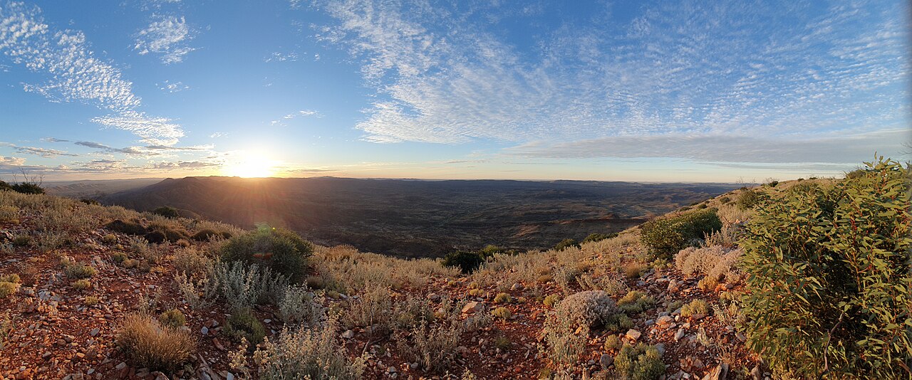
Crossing the West MacDonnell Ranges near Alice Springs in Australia's Northern Territory, this 223km trail is divided into 12 sections, so it can be walked end-to-end (roughly 2-3 weeks) or tackled section by section. Its high point is Mt Sonder (Rwetyepme, 1,380m), and it passes through red sandstone gorges like Simpsons Gap and Standley Chasm as well as traditional Arrernte Aboriginal country. Given the desert climate's extreme day-night temperature swings, the May-August dry season is effectively the only safe trekking window.
Summiting the Northern Territory's highest peak, Mt Sonder (1,380m), for sunrise views
Permanent waterholes in the middle of the desert, such as Ormiston Gorge and Ellery Creek Big Hole
Standley Chasm's brief midday window when sunlight lights the red sandstone walls
A modular 12-section design allows both a full end-to-end trek and shorter 2-4 day section walks
Good to know
SafetySummer (December-February) daytime temperatures can exceed 40°C, bringing serious heatstroke risk; NT Parks effectively discourages trekking during this period.
SeasonGiven the desert climate, winter (June-August) nights can drop below freezing, making cold-weather gear as important as summer sun protection.
·Most sections have no water source, requiring self-arranged water drops or a pre-booked commercial water cache service.
RulesSome sections cross Arrernte Aboriginal land where leaving the trail or camping without permission is prohibited, so posted signage must be followed.
On-site reviews📍 Verified on-site
No reviews yet. If you are here, be the first to leave one.
Report content
Tell us what is wrong or could be improved.
Write an on-site review
You can post only while you are within this attraction. Location permission is required.