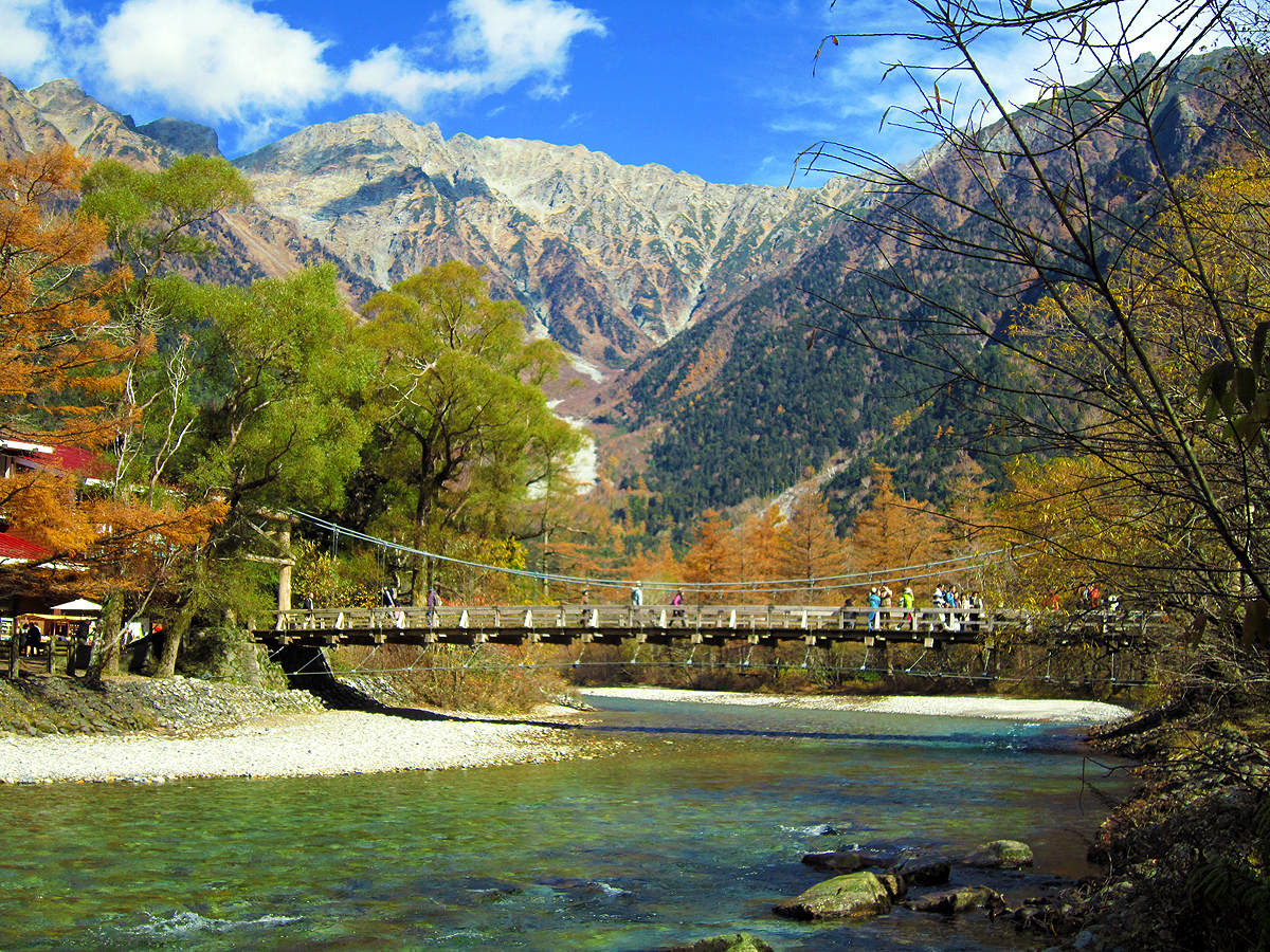
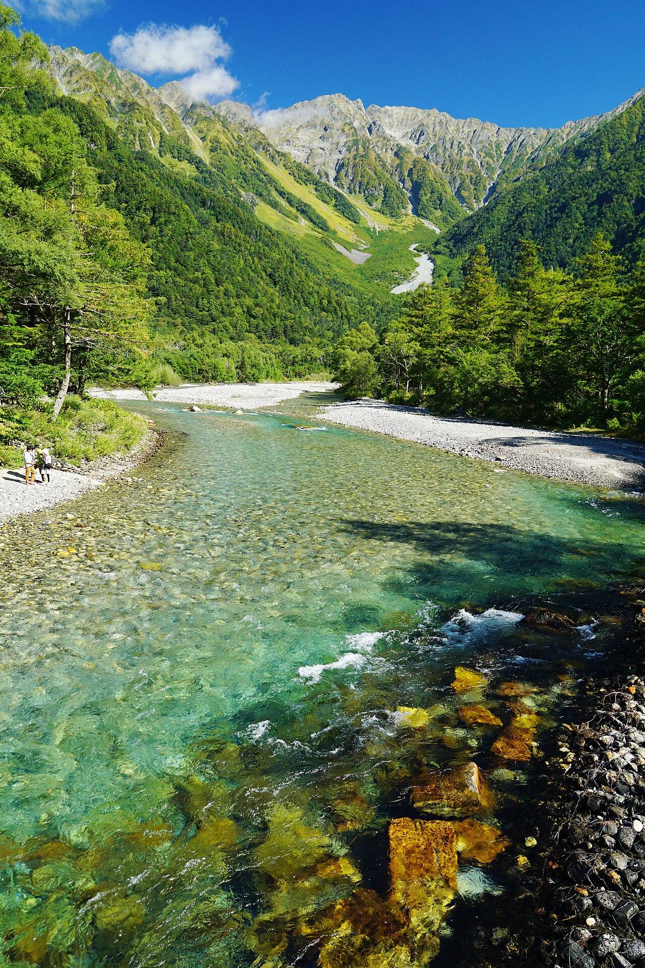
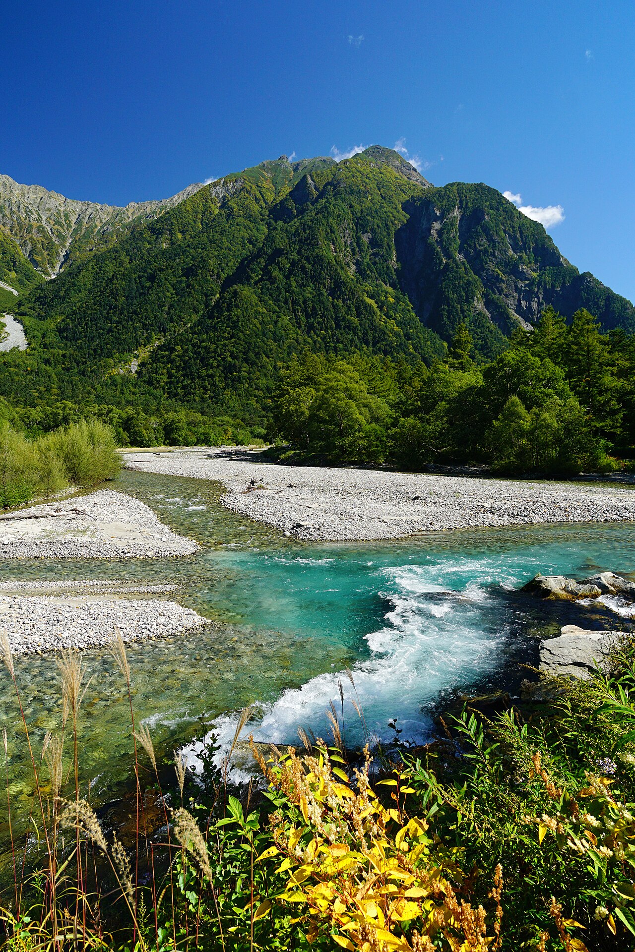
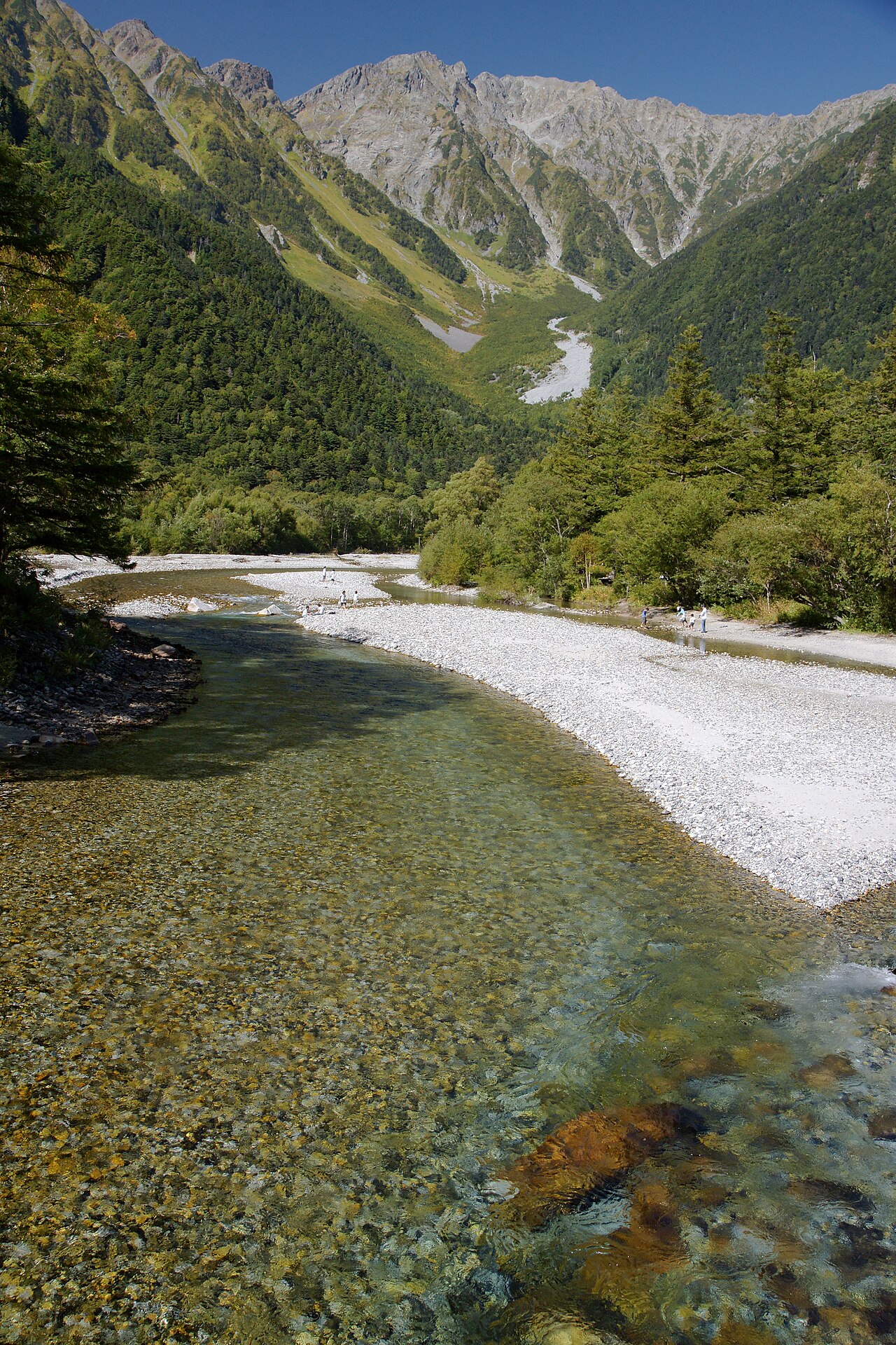
Kamikochi is a high-altitude alpine valley (about 1,500 m) in the Northern Japan Alps of Nagano Prefecture, within the Special Protection Zone of Chubu Sangaku National Park. Along the Azusa River, the Hotaka mountain range and the active Yakedake volcano form a dramatic backdrop, with the Kappa Bridge, Taisho Pond and Myojin Pond stringing together some of Japan's most iconic scenery on mostly flat, beginner-friendly trails. To protect the environment, private cars are banned, so access is only by shuttle bus or taxi.
Kappa Bridge (Kappabashi): The central suspension-bridge landmark over the Azusa River, framing Oku-Hotakadake (3,190 m) to the north and the active Yakedake volcano (2,455 m) to the south.
Taisho Pond: Formed in 1915 when a Yakedake eruption dammed the river; sunken tree stumps and the Hotaka peaks mirrored in early-morning mist make it a top photo spot.
Myojin Pond: A crystal-clear pond within the inner sanctuary of Hotaka Shrine, about a 2-hour round trip from Kappa Bridge along a flat primeval-forest path (separate entry fee applies).
Azusa River walk: A nearly level route linking Taisho Pond, Kappa Bridge and Myojin lets visitors enjoy the valley's highlights in a few hours with no hiking experience.
Seasonal scenery: Fresh green in mid-May to early June and vivid autumn foliage from mid-October to early November, with 3,000 m peaks reflected in the water on clear days.
Good to know
RulesPrivate cars and motorcycles are banned. Park at Sawando (Matsumoto side) or Akandana (Takayama/Hirayu side) and transfer to a shuttle bus or taxi (about 30 min). Verify fares and parking rates for the latest info.
RulesBuses from Matsumoto and Tokyo have required advance reservations for all services since 2025. Peak-season weekends sell out early, so book ahead (verify latest).
SafetyThis is Asian black bear habitat. Warden sightings are posted; carry a bear bell, manage food odors and avoid solo late-night trails as basic bear precautions.
MannersFeeding the wild Japanese macaques is strictly prohibited. They may lunge at food, so never leave snacks exposed in your hands or bag.
RulesAs a National Park Special Protection Zone, drone flights are prohibited (permit required), pets are not allowed, tents are banned outside designated campsites, and you must carry out all trash.
SeasonThe valley is open roughly mid-April to mid-November (2026: Apr 17–Nov 15); outside this it closes for winter and all facilities shut. Check the exact opening/closing dates before your trip.
Practical info
At 1,500 m it runs 10–15°C cooler than Tokyo and weather changes fast, so bring a windproof/warm layer and comfortable trail shoes even in summer. There are no convenience stores, so buy water, onigiri and snacks in Matsumoto beforehand, and carry small cash for restroom donations (about ¥100) and Myojin entry. Confirm fares, timetables and reservation rules on the official site before you go.
On-site reviews📍 Verified on-site
No reviews yet. If you are here, be the first to leave one.