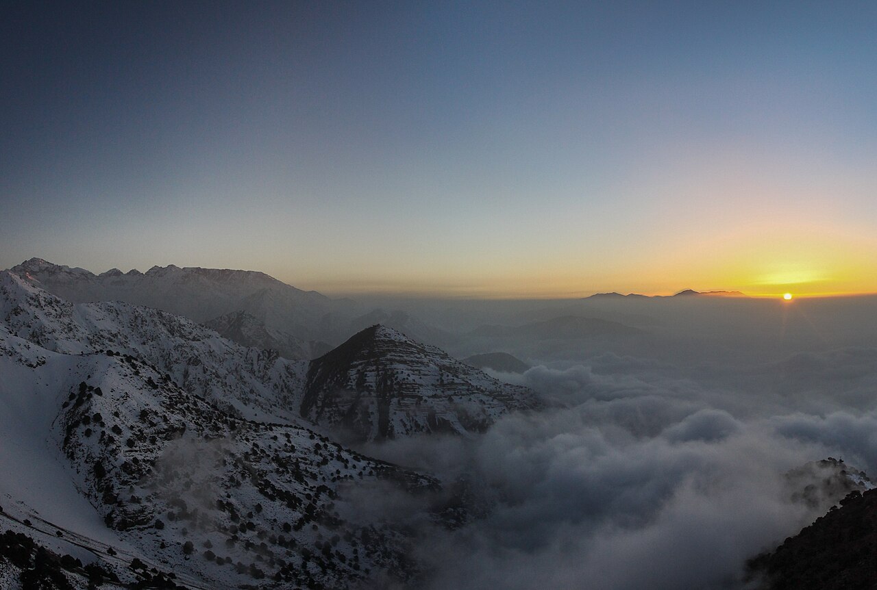
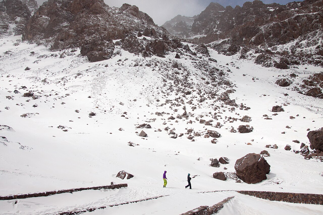
Jbel Toubkal (4,167 m) is the highest peak in North Africa and the Arab world, rising inside Toubkal National Park in Morocco's High Atlas range south of Marrakech. In summer (roughly May–September) the summit is a non-technical but strenuous trek rather than a climb: altitude and long ascent hours, not roped climbing, are the real challenge, so acclimatization and stamina matter most. Following the 2018 murder of two tourists near the trailhead village of Imlil, security was tightened, and as of 2026 an accredited mountain guide is compulsory on the Imlil–Toubkal route, with passports checked at checkpoints. Most visitors approach as a day-trip from Marrakech and summit over a 2-day or 3-day itinerary.
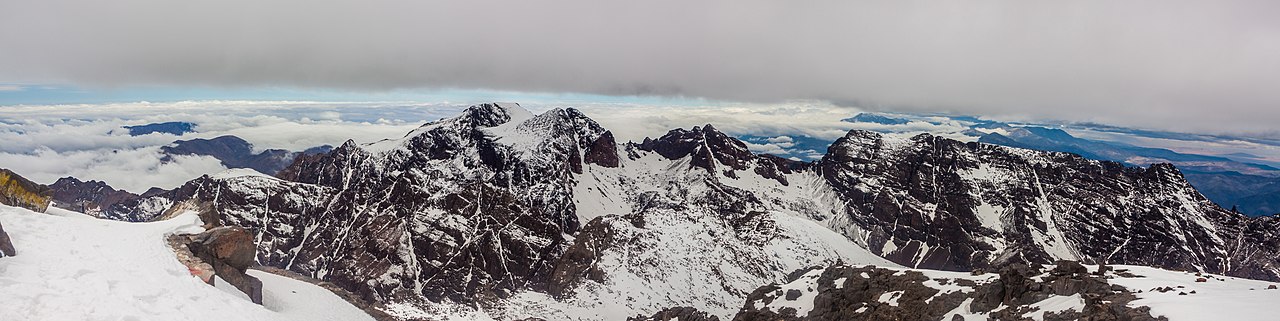
The 4,167 m summit with its metal pyramidal survey marker and sweeping High Atlas ridgeline panorama
The Toubkal Refuge (Refuge du Toubkal / Les Mouflons) at 3,207 m — the last base before the summit push
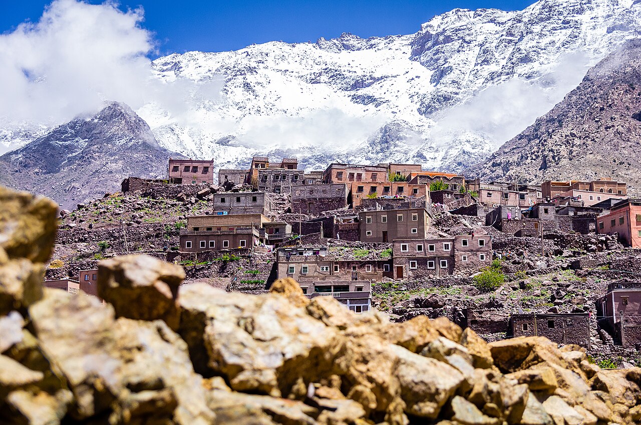
Imlil (~1,740 m), the Berber gateway village with terraced fields, walnut groves and mountain hospitality
The Sidi Chamharouch shrine and the waterfalls and stream that trace the valley between Imlil and the refuge
The reddish volcanic summit ridge, geologically distinct from the surrounding sedimentary terrain
Good to know
RulesAn accredited mountain guide has been mandatory on the Imlil–Toubkal route since late 2019. Checkpoints run by the Gendarmerie Royale and local authorities inspect your passport and the guide's license, so carry your original passport; unguided solo attempts can be turned back.
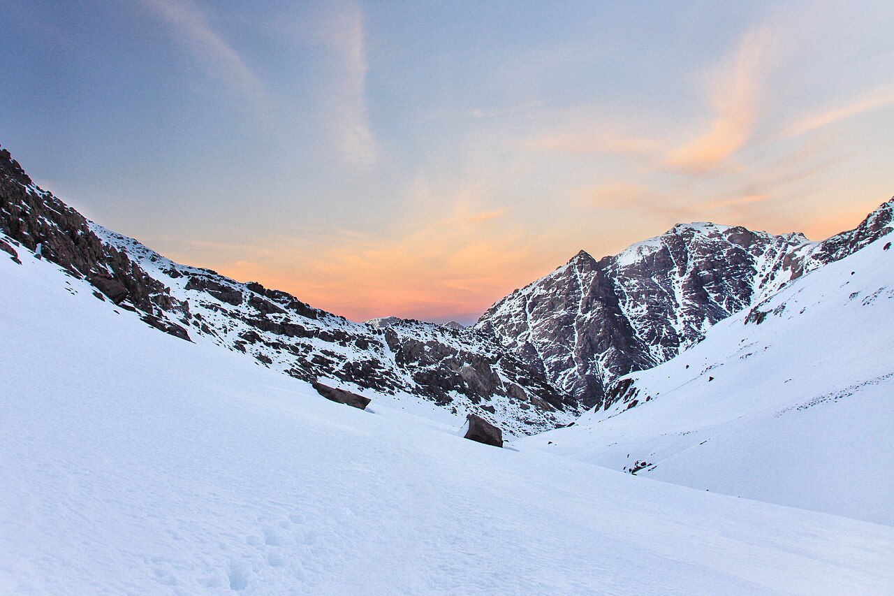
SeasonIn winter (roughly November–March) the upper mountain is snow- and ice-covered, requiring crampons, an ice axe and mountaineering skills — it becomes a true alpine climb. Midsummer at low elevations is very hot. The easiest non-technical hiking windows are late spring and early autumn (May–June and September).
SafetyAltitude sickness is a real risk. The jump from the refuge (3,207 m) to the summit (4,167 m) is significant, so build in a day to acclimatize and turn back if you develop headache, nausea or severe dizziness. Weather changes fast in the afternoon and there are loose-rock, steep sections, so an early pre-dawn start is standard.
MannersThis is a conservative Muslim, Berber region. Always ask before photographing villagers, and dress modestly with shoulders and knees covered. Tipping guides and muleteers at the end of the trip is customary, so keep small cash on hand.
CautionUnlicensed 'guides' posing as official and inflated quotes are common around Imlil and via Marrakech agencies. Verify the state mountain-guide (Accompagnateur/Guide) accreditation and agree in writing on what is included (guide, refuge nights, meals, mule). Be wary of pressured tips and paid-photo demands near the summit.
SafetyRefuge beds sell out in peak season (summer and holidays). Carry your own water, snacks, headlamp and warm layers, and because mountain rescue here is limited, confirm travel insurance that covers trekking activity above 4,000 m.
Practical info
Imlil, about 63 km south of Marrakech (roughly 1.5 hours by grand taxi or private car), is the trailhead where guides, mules and refuge stays are arranged. There is no separate national-park entry ticket, but a guide is compulsory on the Imlil–Toubkal section; refuge fees, guide and mule costs, and current regulations should all be re-confirmed locally right before you go.
On-site reviews📍 Verified on-site
No reviews yet. If you are here, be the first to leave one.