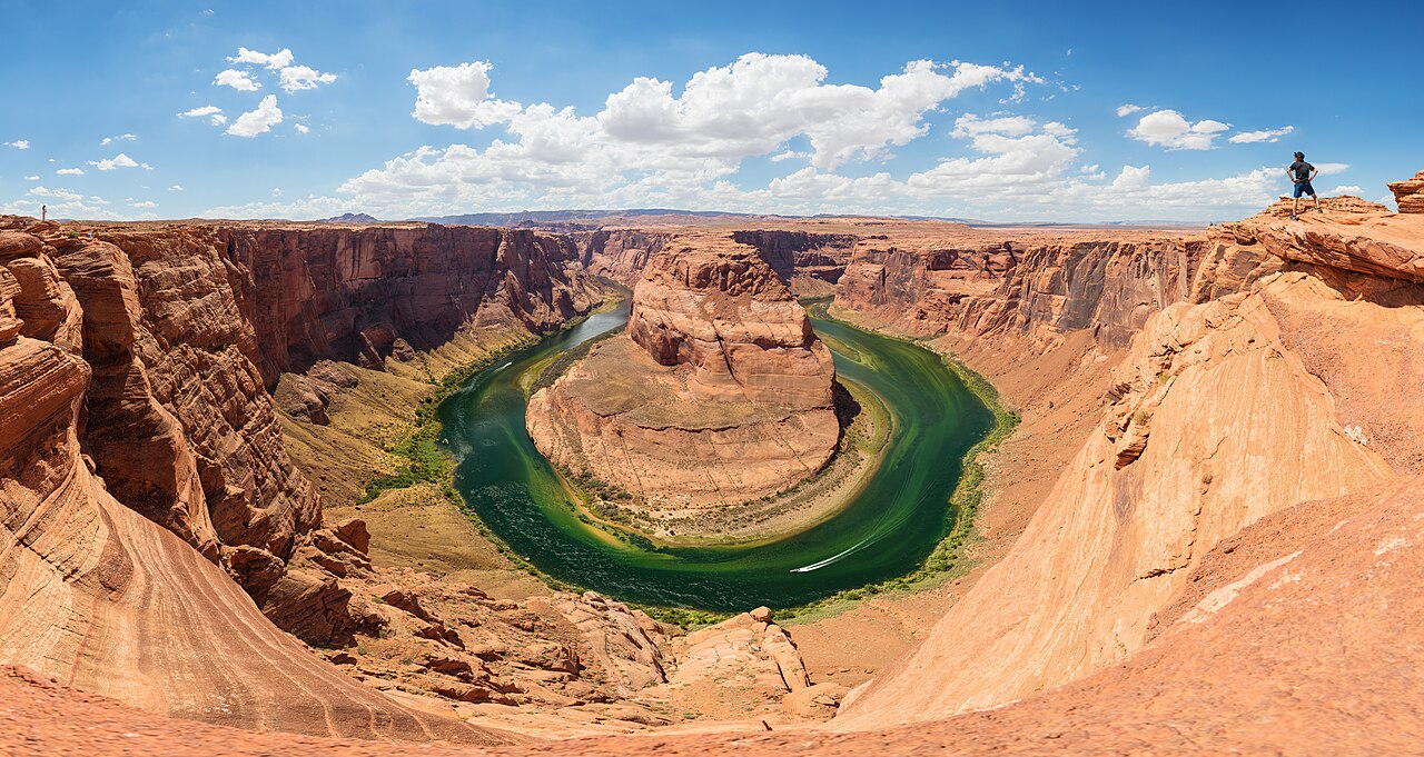
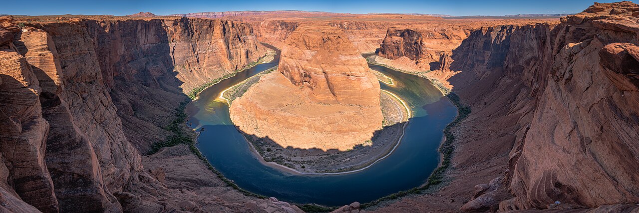
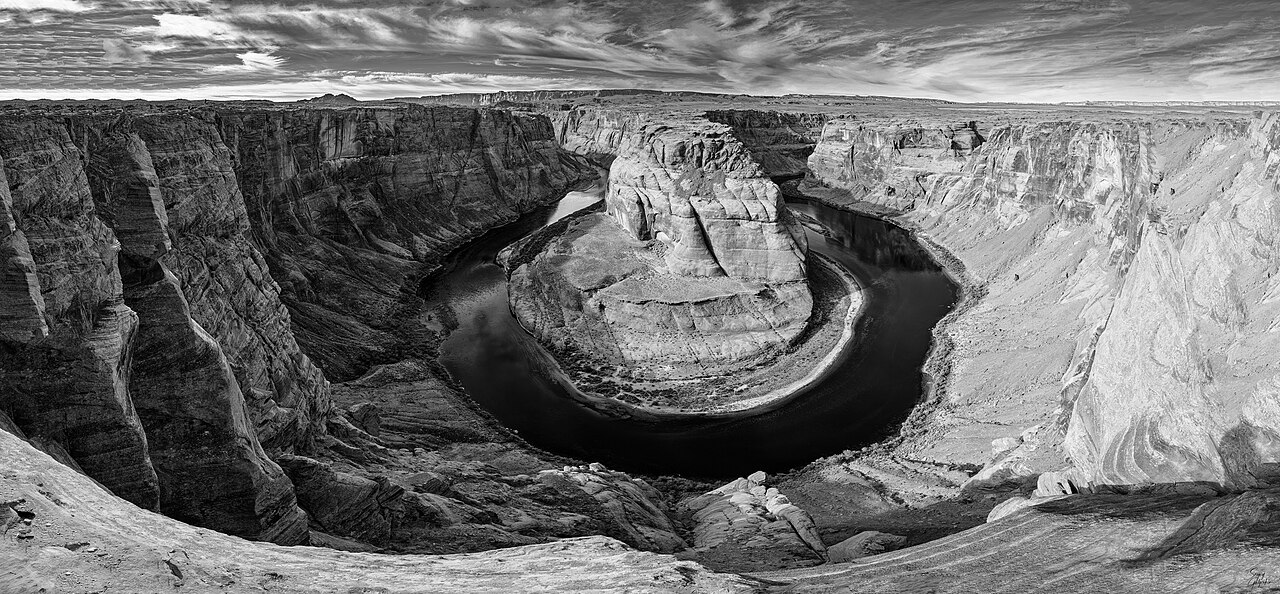
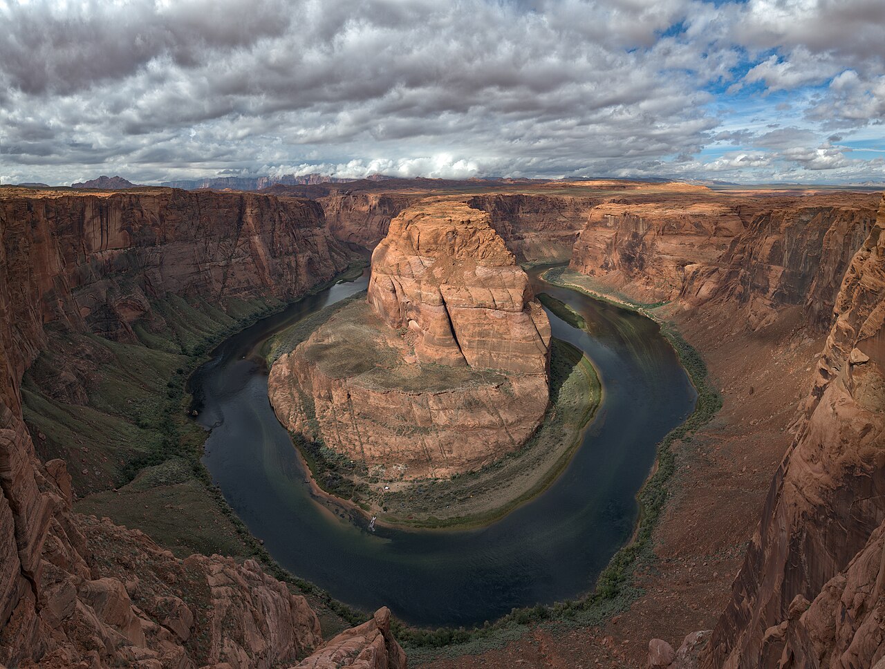
Horseshoe Bend is a dramatic 270-degree meander of the Colorado River near Page, Arizona, located within Glen Canyon National Recreation Area. The overlook offers a sweeping view of the river curling roughly 1,000 feet below sandstone cliffs, making it one of the most photographed landscapes in the American Southwest. As of 2026 it remains one of the park's busiest sites, drawing over 800,000 recreation visits a year, with the City of Page continuing to expand parking and add safety railings and signage to manage crowding. The walk to the rim is a 1.5-mile (2.4 km) round trip on a hardened, largely shadeless path, so plan around the heat and arrive early morning or late afternoon for the best light and cooler temperatures.
The classic 270-degree horseshoe curve of the Colorado River from the main overlook, especially striking at sunrise and sunset when the cliffs glow red
Sandstone rock layers exposed in the canyon walls, recording roughly 5 million years of Colorado Plateau uplift
The 1.5-mile (2.4 km) round-trip hardened trail, built to ADA accessibility standards with two shade shelters along the way
Additional viewpoints along the rim to either side of the main platform (use extreme caution — these unofficial spots have no railings)
Easy pairing with nearby Antelope Canyon, Glen Canyon Dam, and Lake Powell for a full day in the Page area
Good to know
SafetyOnly the main viewing platform has railings — most of the surrounding rim is unfenced with a sheer roughly 1,000 ft (300 m) drop. Fatal falls have occurred repeatedly, so keep a firm grip on children and be extremely careful when taking photos near the edge.
SeasonMidday temperatures in July and August can approach 100°F (38°C)+, and there is almost no shade along the trail, creating a real risk of heat exhaustion and dehydration. Carry at least 1 liter of water per person, wear a hat and sunscreen, and aim for an early-morning or evening visit.
SeasonJuly through September is monsoon season, and sudden afternoon thunderstorms with lightning can develop. The exposed rim offers no shelter from lightning, so head back immediately if dark clouds build.
RulesThe parking lot is run by the City of Page, not the National Park Service, so federal passes like the America the Beautiful pass are not accepted — a separate per-vehicle parking fee (around $10 as of 2026, confirm the current rate) is charged on site.
RulesDrone flights are prohibited within Glen Canyon National Recreation Area without a special use permit.
MannersDuring major holidays the fee booth may be cash-only, so carry some cash in addition to a card. There are few trash bins along the trail, so pack out your own trash, and yield space to other hikers on the narrow sections.
CautionBe wary of unofficial individuals near the lot offering to 'help' with parking or photos in exchange for extra cash — pay the parking fee only at the official City of Page booth.
Practical info
The nearest airport is small Page Municipal Airport (PGA) with limited service, so most visitors fly into Phoenix (PHX, roughly a 4.5-hour drive) or Las Vegas (LAS, roughly 4-5 hours) and rent a car. The trailhead is about a 5-minute drive from downtown Page, followed by a 1.5-mile (2.4 km) round-trip walk to the overlook; confirm current parking fees and gate hours before you go.
On-site reviews📍 Verified on-site
No reviews yet. If you are here, be the first to leave one.