Dyrholaey is a roughly 120-metre-high promontory on Iceland's south coast, about 5 km west of Vik, formed by ancient volcanic activity. It is famous for the massive natural arch the sea has carved through its rock and for the small lighthouse built in 1927 on its highest point. True to its name, 'the hill island with the door-hole,' small boats can pass beneath the arch in calm weather, and from late April to mid-August it is one of South Iceland's most reliable puffin-nesting sites. Protected as a nature reserve since 1978, it remains in 2026 a key viewpoint on the Ring Road's south-coast route; during the breeding season (roughly May-June) the authorities restrict access by time and area to protect the birdlife. The upper lighthouse area (Haey) and the lower arch-viewpoint area (Lagey) each offer different vistas.
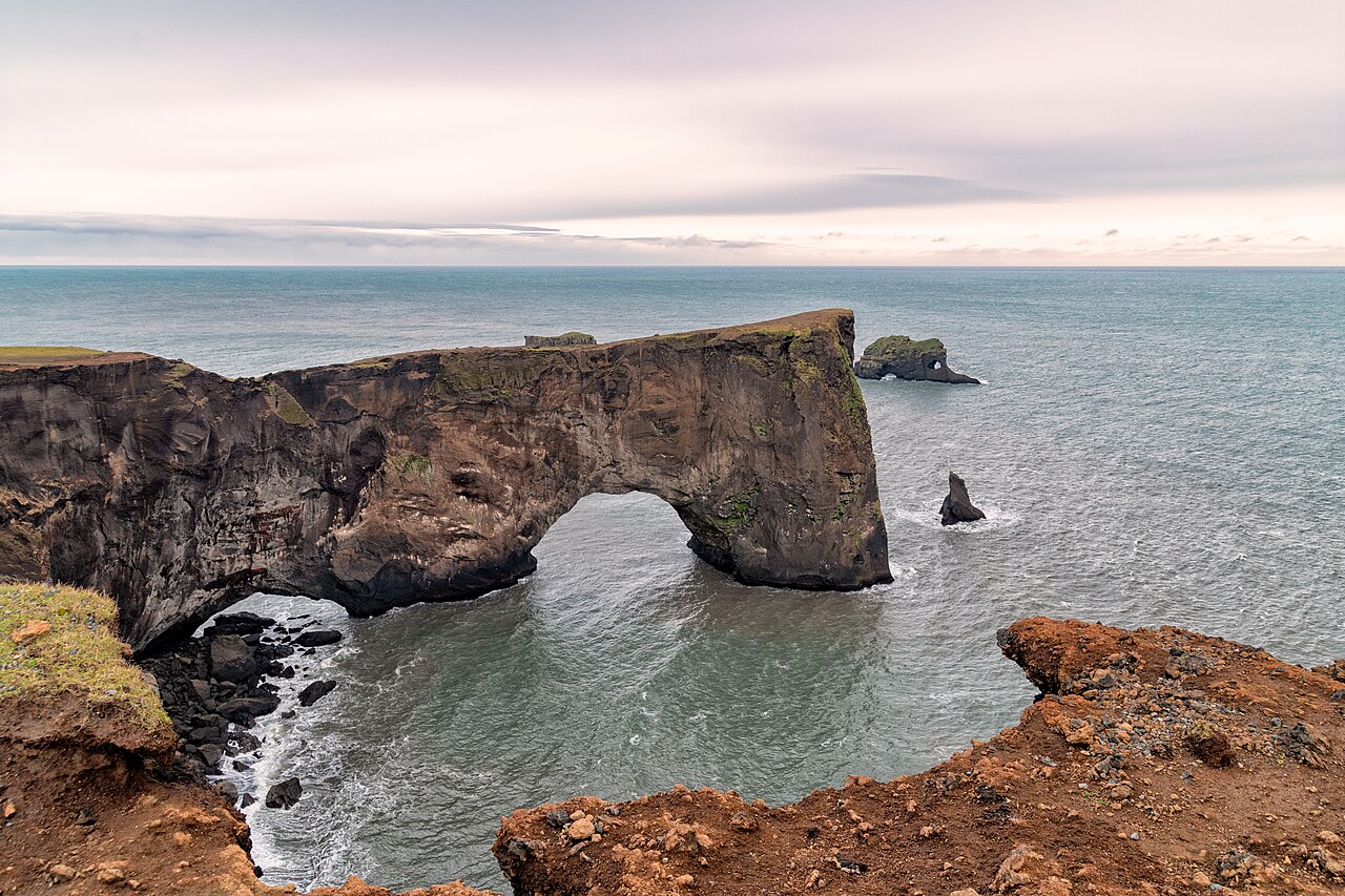
The huge natural sea arch cut through the rock, which small boats can pass under on calm days
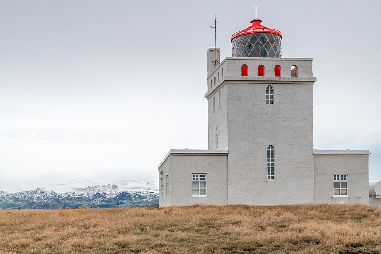
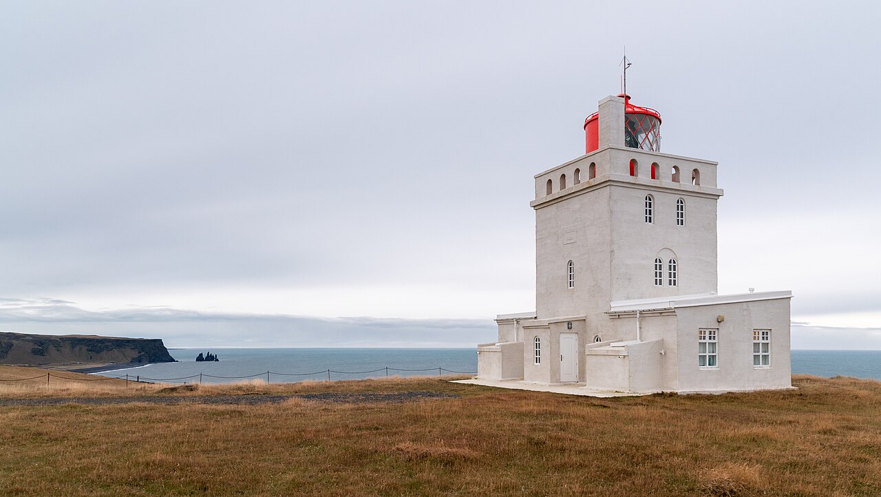
The orange-roofed 1927 lighthouse on the summit with sweeping panoramas in every direction
Puffins nesting on the cliffs from late April to mid-August, best seen in June and July
Views east to the Reynisdrangar basalt sea stacks and Reynisfjara black-sand beach
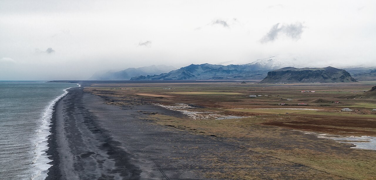
The endless black-sand coastline stretching west and the inland Myrdalsjokull glacier
Good to know
SafetyThe clifftops are sheer and the wind on the headland is far stronger than at road level. Stay well back from the edges and secure tripods, hats and car doors, which strong gusts can rip away or damage.
SafetyThe 'sneaker waves' on the nearby Reynisfjara and Kirkjufjara black-sand beaches are unpredictable and have been fatal. Never turn your back on the ocean and keep at least 30 m from the water; Kirkjufjara beach itself is closed to entry after past accidents.
SeasonDuring the bird-nesting season (roughly 1 May-25 June) the managing authority decides each year, based on an ornithologist's assessment, whether to restrict access. When restricted, the site is typically open only 09:00-19:00, with the upper lighthouse area fully closed overnight (19:00-09:00), so confirm opening status before you go.
SeasonIn summer (June-July) the near-midnight sun makes puffin-watching and photography easy, but in winter the steep upper road to the lighthouse often closes in snow and high wind and a 4x4 is needed. Check road and weather conditions on safetravel.is and road.is.
RulesRoad 218 up to the lighthouse is gravel with a narrow, steep section; a normal car manages it in summer but it turns to mud in rain. Park only in the marked lots-driving off-road onto gravel or grass carries heavy fines. Parking is paid via the Parka app, and fees and method should be verified for the latest details; drone flying is also restricted during nesting.
MannersDo not approach or crowd nesting puffins and terns, and stay on the marked trails. In breeding season Arctic terns dive-bomb people's heads, so keep your distance for everyone's safety.
CautionIceland has no tipping culture and crime is low, so no extra tips are expected. Be wary, though, of aggressive up-selling of gravel/sand-and-ash rental-car insurance and of theft of valuables left in cars at busy parking lots.
Practical info
Turn off the Ring Road (Route 1) onto Road 218; you can reach the lower parking area by car and then walk up to the upper lighthouse depending on closures and weather. Entry to the headland is free, but parking is paid via the Parka app, and opening hours, fees and any access restrictions should be confirmed for the latest information before your visit.
On-site reviews📍 Verified on-site
No reviews yet. If you are here, be the first to leave one.