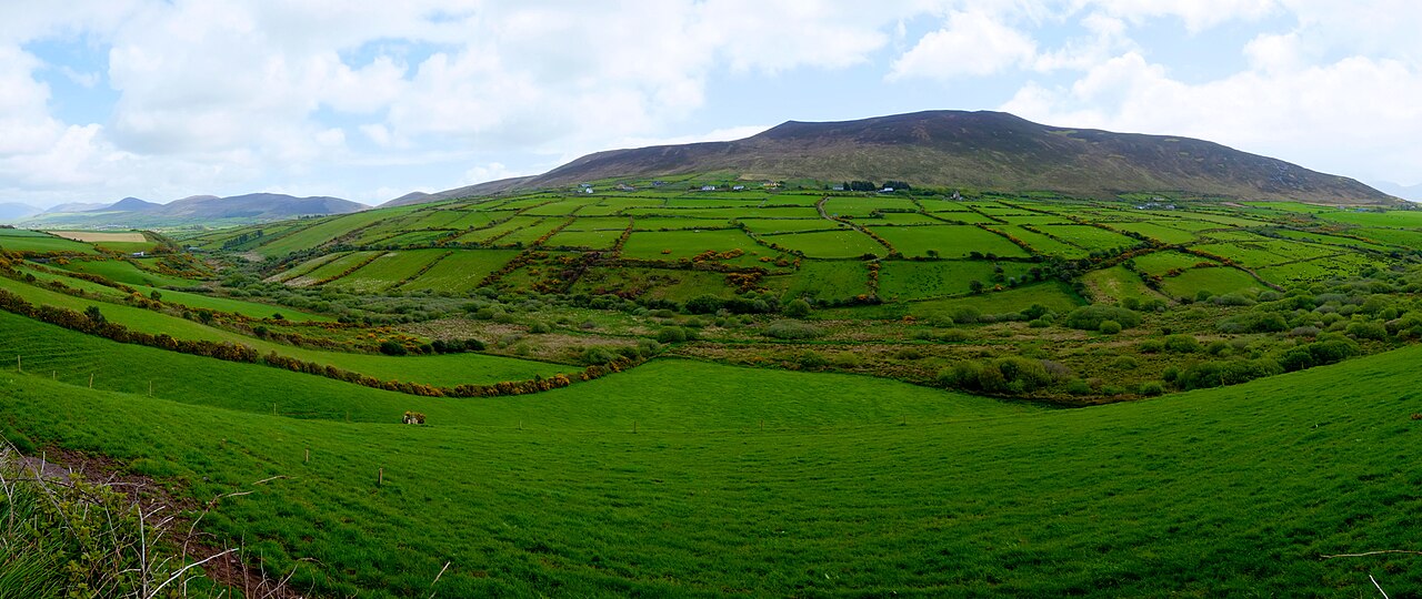
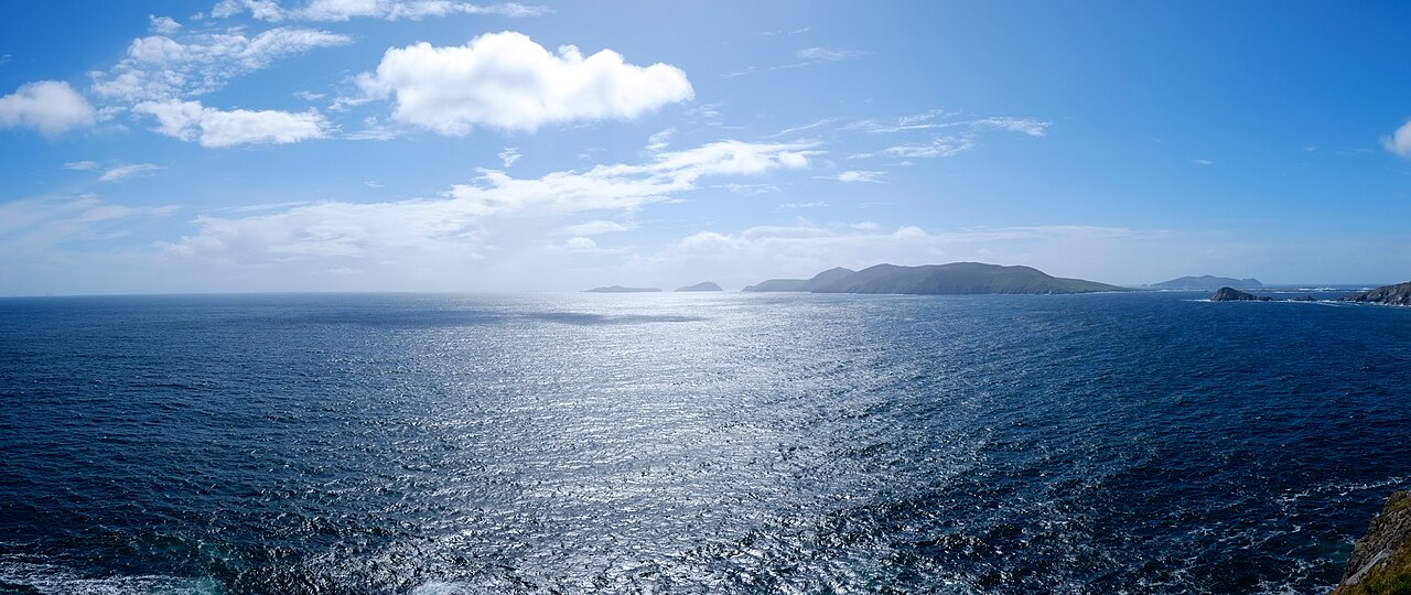
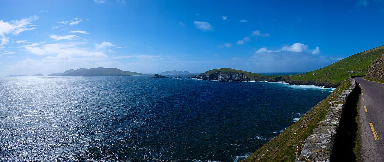
The Dingle Peninsula (Corca Dhuibhne) reaches about 48 km into the Atlantic from County Kerry in south-west Ireland and is a signature stretch of the Wild Atlantic Way. It is an official Gaeltacht region where Irish (Gaeilge) is still an everyday language, ringed by dramatic sea cliffs, sandy beaches and mountains including Mount Brandon, and dotted with ancient stone monuments; National Geographic once called it 'the most beautiful place on earth' and it featured in Star Wars: The Last Jedi. As of 2026 it remains refreshingly undeveloped, so the best approach is either a day looping the Slea Head Drive by hire car or basing yourself in Dingle town for a night or two.
Slea Head Drive (R559): a roughly 47 km circular coast road from Dingle town, threading past cliffs, Atlantic surf and views of the Blasket Islands — the peninsula's headline route.
Gallarus Oratory: an early-Christian dry-stone church shaped like an upturned boat, built without mortar and still watertight after more than a thousand years.
Dunmore Head & Dunquin Pier: the westernmost point of the Irish mainland, and a much-photographed pier that zig-zags down the cliff to the harbour.
Blasket Islands: now-uninhabited islands reached by ferry from Dunquin, steeped in Irish literature and emigration history with wild Atlantic scenery.
Conor Pass (R560) & beehive huts: Ireland's highest mountain pass at 456 m, plus the dry-stone clocháns (beehive huts) scattered along the western slopes.
Good to know
SafetyIreland drives on the left, and much of the Slea Head Drive narrows to a single-vehicle lane. Always drive clockwise to avoid meeting tour coaches head-on, and slow right down for sheep and cattle that stray onto the road.
RulesConor Pass bans vehicles longer than 7.2 m (large campervans and coaches). Check your hire-car class, and use the marked passing bays where the road pinches.
SeasonFerries from Dunquin to the Blasket Islands generally run only from around Easter/April to the end of September, and only when the sea allows. Book ahead in high summer (Jun–Aug); in winter many tours and eateries close.
MannersThis is a Gaeltacht (Irish-speaking) area, so some road signs appear only in Irish (e.g. Daingean Uí Chúis = Dingle). Respect farm gates and private land, and don't block the narrow road for photos.
SafetyAtlantic weather changes several times a day. Bring a waterproof and windproof layer and sturdy shoes even in summer, and take care of strong gusts and slippery ground near cliffs and piers.
CautionBook the Blasket ferry only through the official operators by phone/email; petty theft is uncommon, but keep an eye on belongings in busy Dingle pubs and car parks. Tipping is not obligatory — around 10% is customary if you're happy with the service.
Practical info
The nearest railway station is Tralee; from there Bus Éireann route 275 runs to Dingle town in about an hour (roughly every two hours). Public transport (Local Link) inside the peninsula is sparse, so a hire car or a guided tour is effectively essential. Most roads and viewpoints are free to enjoy, but Blasket ferry fares, heritage-site admissions and bus times change by season — always check the latest details on official sites before you go.
On-site reviews📍 Verified on-site
No reviews yet. If you are here, be the first to leave one.