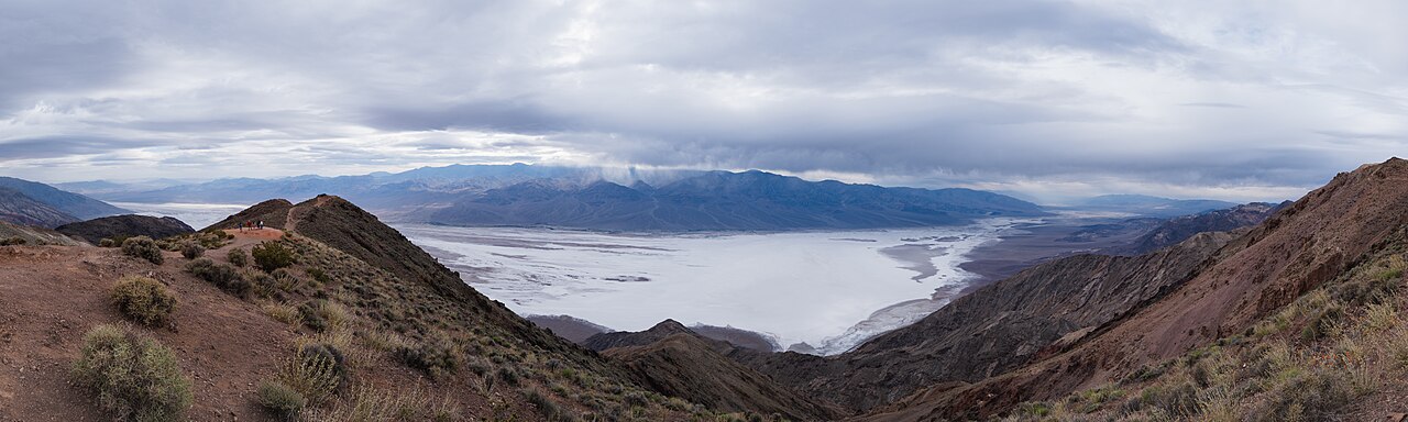
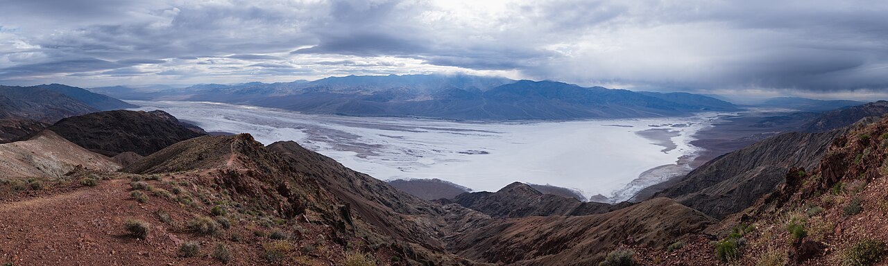
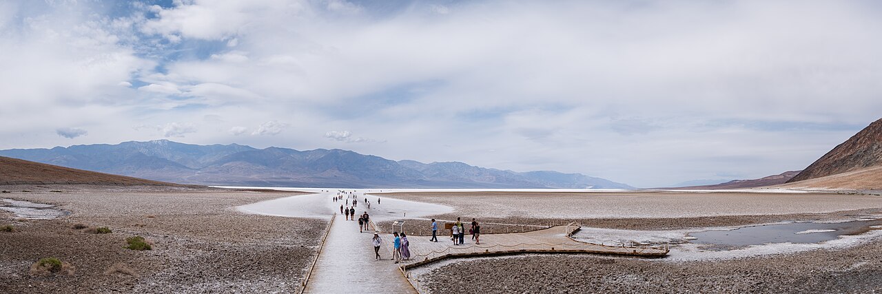
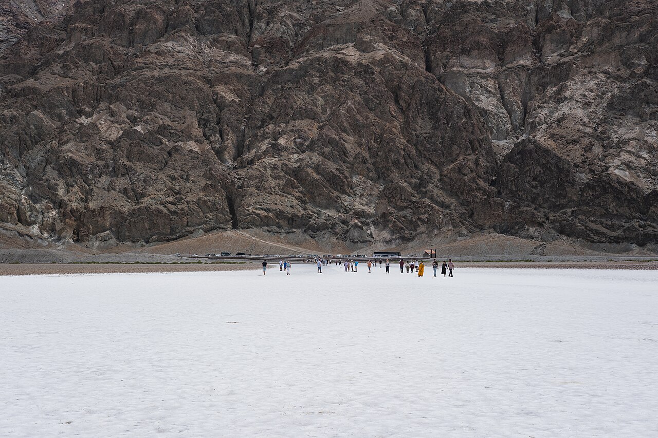
Badwater Basin sits 282 ft (86 m) below sea level, making it the lowest point in North America, about 17 miles south of the Furnace Creek Visitor Center in Death Valley National Park. Left behind as ancient Lake Manly evaporated, the basin's roughly 200-square-mile salt flat forms striking honeycomb-like polygon patterns that make it one of the park's most iconic, almost otherworldly sights. As of July 2026, South Badwater Road has reopened after flood-damage repairs but still has rough patches, and extreme-heat warnings are common at this time of year, so checking current conditions before you go matters more than usual. A short boardwalk leads out to the 'lowest point' marker and salt crystals up close; visiting at sunrise or late afternoon is recommended to avoid the harshest heat.
The boardwalk's end marker noting North America's lowest point (-282 ft / -86 m)
The sharp hexagonal salt polygon patterns visible a bit further out past the crowded first stretch of boardwalk
The 'Sea Level' sign posted high on the cliff above the parking area, showing just how far below sea level you're standing
Wide-open views across the salt pan toward the Panamint Range and Telescope Peak to the west
Sunrise and sunset light playing across the white salt flat, a favorite moment for photographers
Good to know
SafetySummer temperatures routinely top 120°F (49°C) with zero shade on the flats. Bring far more water than you think you'll need, and remember cell service is unreliable to nonexistent here, so a vehicle breakdown can quickly become life-threatening.
SafetyAs of July 2026, extreme-heat warnings from the National Weather Service and NPS are common this time of year — check the park's official Alerts & Conditions page the day of your visit.
SeasonNPS advises against hiking the Badwater boardwalk after 10am in summer (roughly May–September). Late fall through early spring (Nov–Mar) offers the most comfortable conditions for walking further out.
RulesPets and watercraft are prohibited park-wide. An entrance fee applies (around $30 per vehicle for 7 days as of July 2026 — verify current pricing), and cash is not accepted on-site; pay by card or buy a pass in advance via Recreation.gov or an automated fee machine.
RulesAccess roads near Badwater, such as South Badwater Road, have a history of flood damage and periodic closures. Check the park's official current-conditions/road-status page shortly before you go.
MannersStay on the marked path once you're past the crowded first section of boardwalk when heading out to see the salt polygons — footprints off-trail can scar the thin salt crust for months and damage the view for other visitors.
CautionWatch out for unofficial 'guides,' parking attendants, or vendors near park entrances offering to sell tickets or shuttle rides for cash at inflated prices. Official passes are sold only through NPS, Recreation.gov, or the park's own card-payment fee machines.
Practical info
The nearest major airport is Harry Reid International (LAS) in Las Vegas, about a 2–2.5 hour drive by rental car; within the park, Badwater Basin is about 17 miles south of the Furnace Creek Visitor Center. Entrance fees, payment methods, and road conditions should be verified on the official NPS website before your visit, as they are subject to change.
On-site reviews📍 Verified on-site
No reviews yet. If you are here, be the first to leave one.