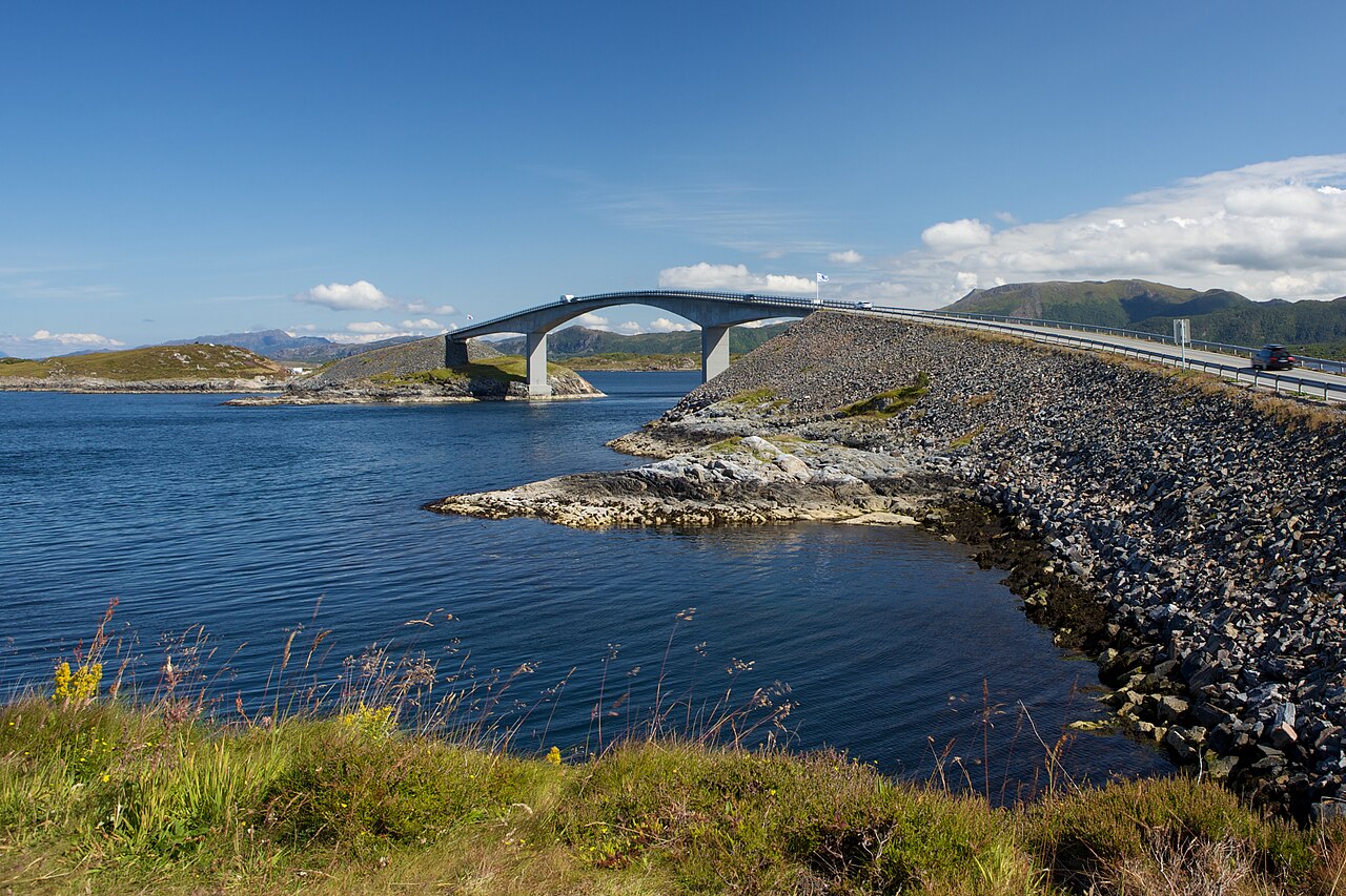
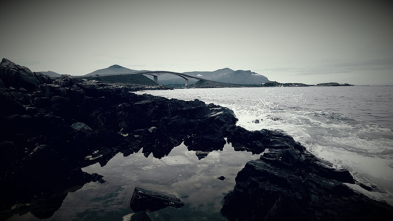
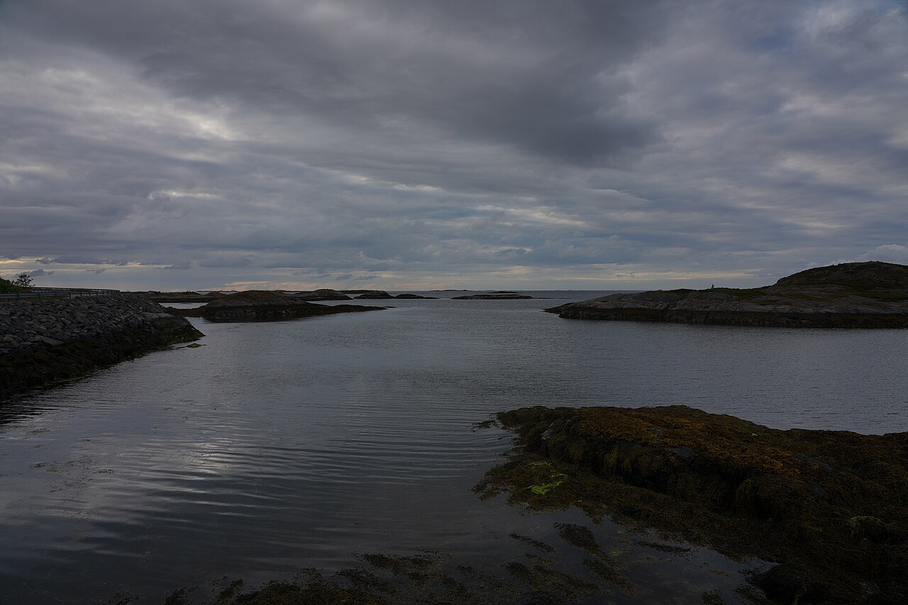
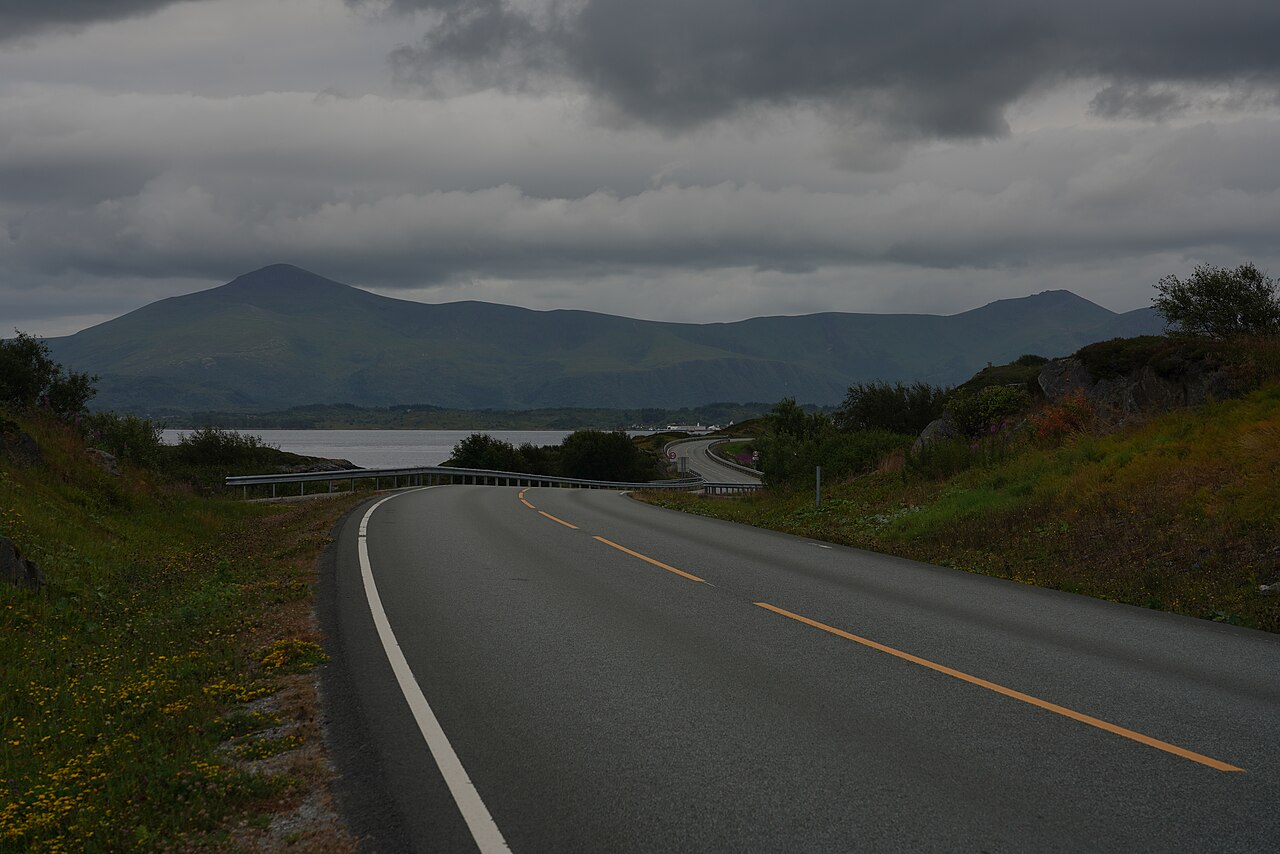
The Atlantic Ocean Road (Atlanterhavsveien / Atlanterhavsvegen) is an 8.3 km stretch of County Road 64 in Møre og Romsdal that hops across an archipelago on eight bridges, linking the island of Averøy to the mainland. Opened in 1989, it was named Norway's 'Construction of the Century' in 2005 and dubbed 'the world's best road trip' by The Guardian in 2006, and it is world-famous for the vertiginous curve of the Storseisundet Bridge, whose angle makes the road appear to drop off into thin air. It has been toll-free since 1999 and remains an open, free public road year-round in 2026. You can drive it in under an hour, but the way to do it justice is to spend half a day (2–4 hours) stopping at the viewpoints and walkways along the way.
Storseisundet Bridge (Storseisundbrua): the longest of the eight bridges at 260 m, a cantilever span whose optical illusion — the road seemingly ending in mid-air — is the route's signature image; reachable on foot from free car parks on both sides
Eldhusøya: a roughly 700 m looping aluminium boardwalk that curls around the island, a relaxed 15-minute circuit with sweeping Atlantic views
Askevågen viewpoint: an open platform over the Hustadvika sea, dramatic from calm summer light to crashing autumn storms
Myrbærholmbrua and Geitøya: purpose-built fishing walkways where cod, coalfish, pollock and mackerel draw anglers from around the world
The seven-bridge drive itself: a coastal journey with seals, seabirds (white-tailed eagles) and, with luck, whales, strung between celebrated photo stops
Good to know
SeasonAt about 63°N the road sits below the Arctic Circle, so there is no true midnight sun, but from May to July the sky stays bright deep into the night — excellent for late-evening and early-morning photography. Aurora is only an occasional winter bonus during strong activity; this is not a prime northern-lights latitude, so keep expectations realistic.
SafetyIn the October–March storm season, waves wash over the bridges, leaving the road wet, salty and slippery, with fierce winds. Camper vans and small cars are especially exposed — avoid non-essential driving and walking on the bridges during storm warnings, and watch waves from a safe distance.
SafetyThe nearest airports are Molde (Årø) and Kristiansund (Kvernberget); there is no train station and public transport is sparse, so a rental car is effectively essential. In winter fit winter tyres and prepare for ice, and check real-time road and weather status with the Norwegian road authority — confirm the latest before you go.
RulesLocal municipalities enforce strict wild-camping rules in 2026, and dumping camper-van waste at the scenic-route facilities is prohibited; use the designated dump stations (Kårvåg, Vevang, Eide, Bud, Kristiansund, Molde).
MannersIn peak summer the Storseisundet and Eldhusøya car parks fill up between 11:00 and 16:00. Come before 09:00 or after 19:00 for space and quiet, and never stop on the roadside or outside marked bays — it causes accidents and congestion.
CautionThe road has been toll-free since 1999 — ignore any website or message demanding an 'Atlantic Road toll.' Watch, too, for rental-car fuel or insurance upsells and inflated damage charges; photograph the car at pickup and drop-off to protect yourself.
Practical info
There is no train; most visitors base themselves in Kristiansund or Molde and drive County Road 64 (Fv64) by rental car, roughly 30–45 minutes from either airport. The road itself is free and open all year with no ticket, but winter storm closures, car-park crowding and the opening hours of nearby cafés, fishing and diving operators all vary, so check the Norwegian Scenic Routes site and local tourist channels for the latest before visiting.
On-site reviews📍 Verified on-site
No reviews yet. If you are here, be the first to leave one.